1. What is the Equator?
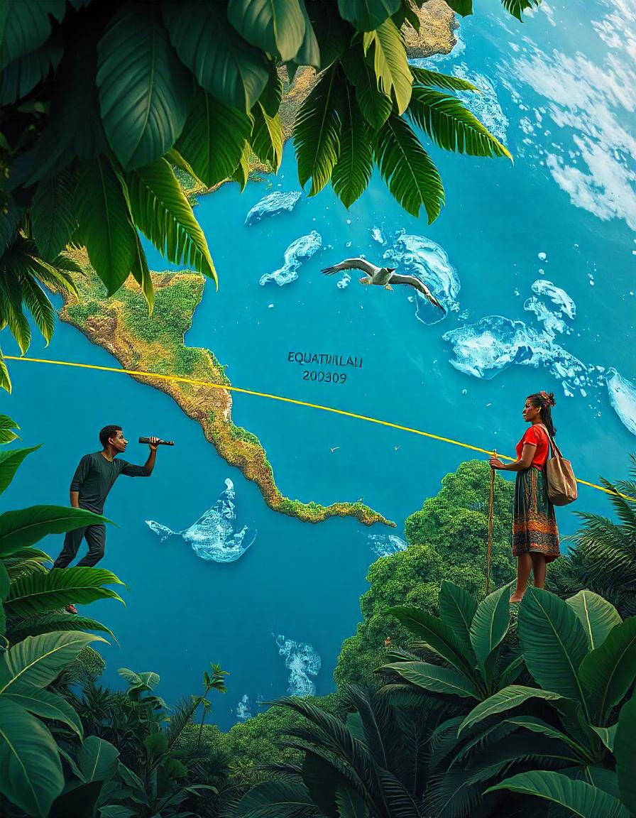
- The Equator is an imaginary line that divides the Earth into two equal halves: the Northern Hemisphere and the Southern Hemisphere.
- It is located at 0° latitude, running around the middle of the Earth, equidistant from the North and South Poles.
2. Characteristics of the Equator:
- Length: The Equator is approximately 40,075 kilometers (24,901 miles) long, making it the longest line of latitude.
- Shape: It is a great circle, meaning it is a perfectly round line that circles the Earth.
- Direction: The Equator runs horizontally, from west to east, around the Earth’s surface.
3. Geographical Importance:
- The Equator serves as the baseline for measuring latitude (degrees north and south).
- All other lines of latitude, such as the Tropic of Cancer, Tropic of Capricorn, Arctic Circle, and Antarctic Circle, are based on their distance from the Equator.
4. Climate and Weather Near the Equator:
- The regions near the Equator typically have a tropical climate, characterized by:
- High temperatures throughout the year, as the sun is often directly overhead.
- Consistent day length, with about 12 hours of daylight and 12 hours of night.
- Frequent rainfall due to high evaporation rates, leading to lush vegetation and rainforests in many equatorial regions.
- Examples of equatorial climates include the Amazon Rainforest in South America, the Congo Rainforest in Africa, and Southeast Asia’s rainforests.
5. Day and Night Cycles at the Equator:
- Equal Day and Night: One of the distinctive features of regions along the Equator is that they experience nearly equal day and night times throughout the year.
- On the Equinoxes (around March 21 and September 21), the sun is directly above the Equator, causing both hemispheres to receive the same amount of sunlight.
6. Countries on the Equator:
Several countries are crossed by the Equator, including:
- Ecuador (named after the Equator)
- Brazil
- Colombia
- Kenya
- Uganda
- Sao Tome Principe
- Somalia
- Indonesia
- Maldives
- Gabon
- Republic of the Congo
- Democratic Republic of the Congo
- Kiribati
These countries often have tropical climates and rich biodiversity due to their proximity to the Equator.
7. The Coriolis Effect:
- The Earth’s rotation causes the Coriolis Effect, which influences the direction of winds and ocean currents.
- At the Equator, winds are not deflected as much as they are further north or south, which is why the Equator is home to the Trade Winds.
8. Geophysical Features of the Equator:
- Earth’s Rotation: The Equator is also the fastest moving part of the Earth because it has the largest circumference. This results in a slightly flattened shape at the poles and a bulging at the Equator, making the Earth an oblate spheroid rather than a perfect sphere.
9. The Equator in Culture and Science:
- Equator Crossing: For centuries, crossing the Equator by sea or air was an important milestone for explorers and travelers. The first recorded crossing of the Equator by European explorers occurred during the voyages of Ferdinand Magellan.
- Geodetic Measurements: Scientists use the Equator as a reference for measuring altitude and longitude, as well as for GPS technology.


