Introduction
The United States is geographically diverse, spanning mountains, plains, deserts, and extensive coastlines. This diversity, while offering rich natural resources and economic opportunities, also exposes the country to a wide range of natural disasters, including earthquakes, hurricanes, and tornadoes. These disasters are closely linked to the geographical and climatic features of different regions.
Understanding natural disasters in the USA requires a study of tectonic activity, oceanic influences, and atmospheric conditions. This knowledge is critical for disaster preparedness, urban planning, and environmental management. This article explores the geography of the USA in relation to natural hazards, focusing on earthquake zones, hurricane-prone coasts, and Tornado Alley, while examining causes, impacts, and mitigation strategies.
1. Earthquakes in the USA
Tectonic Setting
- Earthquakes in the USA are primarily concentrated along tectonic plate boundaries, especially the Pacific Coast along the San Andreas Fault in California.
- The Cascadia Subduction Zone in the Pacific Northwest poses a risk of large-magnitude earthquakes.
- Smaller earthquakes occur in the interior regions, such as the New Madrid Seismic Zone in the central Mississippi Valley.
Causes of Earthquakes
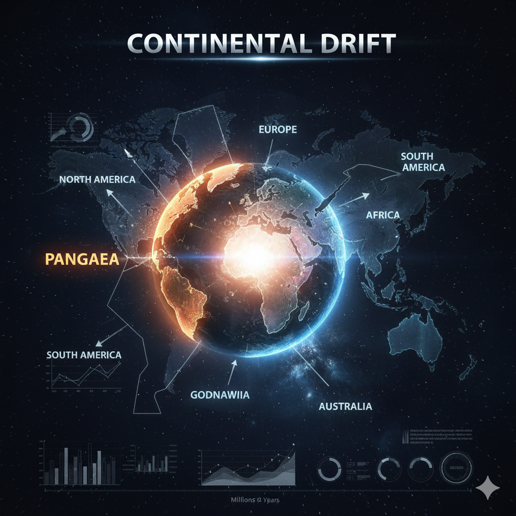
- Plate movements: The Pacific Plate slides past the North American Plate along transform faults like the San Andreas Fault.
- Subduction zones: The Cascadia Subduction Zone can generate megathrust earthquakes.
- Human activities: Hydraulic fracturing, reservoir-induced seismicity, and mining contribute to minor quakes in certain areas.
Major Historical Earthquakes
- 1906 San Francisco earthquake: Estimated magnitude 7.9, causing widespread destruction and fires.
- 1811–1812 New Madrid earthquakes: Series of powerful earthquakes in Missouri, shaking multiple states.
- 1964 Alaska earthquake: Magnitude 9.2, one of the largest recorded in North America, causing tsunamis and infrastructure damage.
Impact of Earthquakes
- Human casualties: Collapse of buildings and infrastructure leads to fatalities and injuries.
- Economic loss: Property damage, business interruptions, and reconstruction costs are substantial.
- Tsunamis: Coastal earthquakes, especially in Alaska and the Pacific Northwest, can generate tsunamis affecting both local and distant coastlines.
Mitigation and Preparedness
- Building codes: Earthquake-resistant structures, especially in California, reduce damage.
- Early warning systems: Technologies such as ShakeAlert provide seconds to minutes of advance notice.
- Public awareness: Drills, evacuation plans, and education campaigns improve community resilience.
2. Hurricanes and the USA
Geographical Vulnerability
- Hurricanes primarily affect the Atlantic and Gulf coasts, including Florida, Louisiana, Texas, and the Carolinas.
- Coastal regions are prone due to warm ocean waters, flat topography, and proximity to the tropics.
Formation of Hurricanes
- Hurricanes form over warm tropical waters when moist air rises, cools, and condenses, creating low-pressure systems.
- The Coriolis effect causes the system to rotate, forming cyclones.
- Storms strengthen as they draw energy from warm ocean surfaces and may travel inland, causing flooding and wind damage.
Major Hurricanes in US History
- Hurricane Katrina (2005): One of the costliest in US history, causing extensive flooding in New Orleans and thousands of deaths.
- Hurricane Harvey (2017): Brought record rainfall to Texas, highlighting urban vulnerability to flooding.
- Hurricane Andrew (1992): Category 5 hurricane that devastated southern Florida.
Impacts of Hurricanes
- Human casualties and displacement: High winds, storm surges, and flooding threaten lives and livelihoods.
- Economic disruption: Damage to infrastructure, agriculture, and energy sectors.
- Environmental damage: Coastal ecosystems, wetlands, and marine habitats are severely impacted.
Mitigation and Preparedness
- Evacuation plans: Coastal communities maintain structured evacuation routes.
- Building regulations: Storm-resistant construction reduces property damage.
- Disaster response systems: FEMA and state agencies coordinate relief, recovery, and risk assessment.
- Climate adaptation: Coastal barriers, wetland restoration, and urban planning help mitigate storm impacts.
3. Tornado Alley
Geographical Overview
- Tornado Alley is a region in the central United States prone to frequent tornadoes, including Texas, Oklahoma, Kansas, Nebraska, and South Dakota.
- Flat terrain and continental climate contribute to severe convective storms.
Causes of Tornadoes
- Atmospheric instability: Cold, dry air from the Rockies meets warm, moist air from the Gulf of Mexico.
- Wind shear: Variation in wind speed and direction at different altitudes allows rotation of storms.
- Supercell formation: Intense thunderstorms generate tornadoes when rotating updrafts (mesocyclones) descend to the ground.
Historical Tornado Events
- Tri-State Tornado (1925): Deadliest tornado in US history, killing over 700 people across Missouri, Illinois, and Indiana.
- Joplin Tornado (2011): EF5 tornado causing widespread destruction and more than 150 deaths.
- Oklahoma tornado outbreaks: Regular severe storms result in property and agricultural damage.
Impacts of Tornadoes
- Loss of life and injuries: Tornadoes can destroy homes and infrastructure in minutes.
- Economic costs: Insurance claims, rebuilding, and business interruptions are significant.
- Social disruption: Communities face displacement and long-term recovery challenges.
Mitigation and Preparedness
- Early warning systems: Tornado sirens, weather alerts, and radar systems provide crucial warning.
- Safe shelters: Storm cellars, reinforced basements, and community shelters save lives.
- Education and drills: Awareness campaigns improve readiness in schools and communities.
4. Geographic Factors Influencing Natural Disasters
Topography and Climate
- Mountain ranges, plains, and coastal areas determine storm paths, wind speed, and precipitation patterns.
- Rocky Mountains influence tornado formation by shaping air masses.
- Coastal plains allow hurricanes to surge inland, causing flooding.
Plate Tectonics
- Earthquakes are concentrated in western states along plate boundaries, while central and eastern US experience infrequent but sometimes severe intraplate earthquakes.
Ocean Currents
- Warm waters of the Gulf of Mexico and Atlantic Ocean fuel hurricanes.
- Coastal ecosystems influence storm intensity and flooding.
5. Economic and Social Impacts
Economic Costs
- Hurricanes and tornadoes cause billions of dollars in property damage annually.
- Earthquakes disrupt urban centers like Los Angeles and San Francisco, impacting infrastructure, business, and transportation.
Human Costs
- Loss of life, injury, and displacement are common.
- Vulnerable populations, including the elderly, low-income communities, and rural residents, face higher risks.
Infrastructure Challenges
- Roads, bridges, and utilities are damaged by floods, winds, and ground shaking.
- Power outages, water contamination, and communication breakdowns affect disaster response.
6. Disaster Management and Mitigation Strategies
Preparedness
- Emergency planning at local, state, and federal levels.
- Public education campaigns about earthquake, hurricane, and tornado safety.
Structural Mitigation
- Seismic building codes, hurricane-resistant construction, and storm shelters reduce losses.
- Levees, dams, and flood barriers protect vulnerable areas.
Technological Innovations
- Advanced forecasting models for hurricanes and tornadoes.
- Earthquake early warning systems provide seconds of alert for life-saving action.
Environmental Management
- Wetland restoration and reforestation reduce storm surges and soil erosion.
- Sustainable urban planning considers hazard-prone zones to reduce risk exposure.
7. Case Studies
San Francisco Earthquake 1906
- Illustrates the vulnerability of urban centers to seismic activity.
- Reconstruction emphasized earthquake-resistant design and urban planning.
Hurricane Katrina 2005
- Highlighted the intersection of natural hazards and social vulnerability.
- Led to reforms in disaster response, levee construction, and emergency management systems.
Tornado Outbreaks in Oklahoma
- Recurrent tornado events underline the need for community preparedness and resilient infrastructure.
- Early warning systems and public education have reduced fatalities over time.
8. Future Challenges
- Climate change may increase hurricane intensity, alter tornado patterns, and exacerbate drought-related hazards.
- Urban expansion into hazard-prone areas increases exposure.
- Coordination between federal, state, and local authorities is essential for effective disaster management.
Conclusion
The geography of the USA directly influences its exposure to natural disasters, including earthquakes, hurricanes, and tornadoes. Understanding the causes, impacts, and mitigation strategies of these hazards is essential for saving lives, protecting property, and ensuring economic stability.
Preparedness, early warning systems, resilient infrastructure, and sustainable environmental management are key to reducing vulnerability. By combining scientific understanding with policy planning, the United States can continue to thrive despite its diverse and often hazardous geography.
The study of natural disasters in the USA serves as a lesson in human resilience, adaptation, and the importance of integrating geography into disaster management planning.


