Introduction
Agriculture, the backbone of global food security, has always been subject to natural uncertainties such as weather variability, pest infestations, and soil degradation. With the increasing demand for food driven by population growth and climate change, it has become essential to enhance agricultural productivity while ensuring sustainability. One of the most transformative developments in this context is Remote Sensing Technology, which is revolutionizing how crops are monitored and how yields are predicted.
Remote sensing provides real-time, accurate, and scalable data about agricultural fields without physical contact, making it indispensable in modern, data-driven farming. This article explores how remote sensing technology works, its tools and platforms, applications in crop health monitoring and yield forecasting, benefits, challenges, and its future potential in reshaping global agriculture.
What is Remote Sensing Technology?
Remote sensing refers to the process of collecting information about an object or area from a distance, typically using satellites, drones, or aircraft. It involves the detection and measurement of radiation reflected or emitted from surfaces, which is then analyzed to interpret physical characteristics.
In agriculture, remote sensing helps monitor crop health, detect stress factors, map fields, and forecast crop yields using spatial and spectral data.
Types of Remote Sensing
- Passive Remote Sensing:
- Captures natural radiation (usually sunlight) reflected by objects.
- Examples: Optical sensors in satellites (e.g., Landsat, Sentinel-2).
- Captures natural radiation (usually sunlight) reflected by objects.
- Active Remote Sensing:
- Emits energy and measures its reflection from the target.
- Examples: Radar and LiDAR (Light Detection and Ranging).
- Emits energy and measures its reflection from the target.
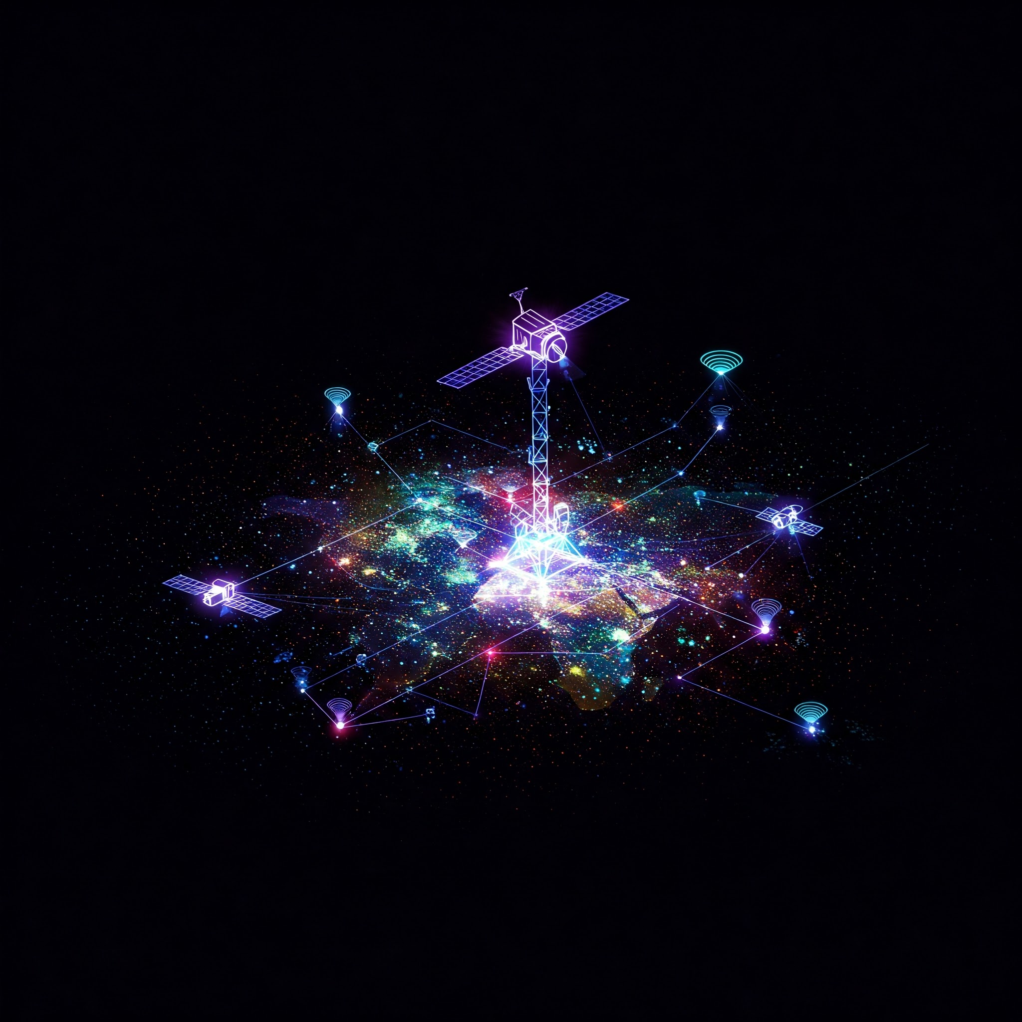
Key Components and Tools
- Satellites:
- Landsat Series (NASA-USGS): Multi-spectral imaging for land cover and crop mapping.
- Sentinel-2 (ESA): High-resolution, multispectral imaging ideal for vegetation monitoring.
- MODIS (NASA): Broad-scale, low-resolution but frequent global observations.
- Landsat Series (NASA-USGS): Multi-spectral imaging for land cover and crop mapping.
- Unmanned Aerial Vehicles (Drones):
- Offer very high-resolution imagery for small to medium-sized farms.
- Ideal for detecting early signs of pest infestation or nutrient stress.
- Offer very high-resolution imagery for small to medium-sized farms.
- Sensors:
- Multispectral Sensors: Capture visible and near-infrared (NIR) bands to assess plant vigor.
- Thermal Sensors: Measure temperature to detect water stress and heat zones.
- LiDAR: Used for mapping terrain and plant height.
- Multispectral Sensors: Capture visible and near-infrared (NIR) bands to assess plant vigor.
- Ground Truthing Devices:
- Include handheld sensors and mobile apps for validation and calibration of remote data.
- Include handheld sensors and mobile apps for validation and calibration of remote data.
- Software Platforms:
- Google Earth Engine, ArcGIS, Agremo, Climate FieldView, and CropIn are used to analyze and visualize remote sensing data.
Applications in Crop Monitoring
Remote sensing technology allows for continuous, non-invasive monitoring of agricultural land. Key applications include:
1. Vegetation Health Assessment
Indices like the Normalized Difference Vegetation Index (NDVI) are derived from satellite images to monitor crop vigor, chlorophyll content, and biomass. Higher NDVI values generally indicate healthier crops.
- Example: A drop in NDVI in a specific zone may point to disease or water stress, prompting targeted intervention.
2. Disease and Pest Detection
Changes in spectral reflectance can signal early signs of disease or pest infestations, often before they are visible to the naked eye.
- Example: Yellowing due to aphid infestation reflects differently in multispectral bands, helping detect issues early.
3. Soil Moisture and Water Stress Monitoring
Thermal and radar sensors are used to estimate soil moisture levels and detect drought conditions. This informs irrigation scheduling and drought preparedness.
4. Crop Phenology Tracking
Tracking plant development stages (germination, flowering, maturity) helps in management decisions and harvest planning.
5. Weed and Invasive Species Identification
Spectral imaging helps distinguish between crops and weeds or invasive species based on their unique reflectance signatures.
Yield Prediction Using Remote Sensing
Remote sensing data is crucial in building predictive models that estimate crop yields well before harvest. These models combine historical yield data, weather patterns, and current season satellite imagery.
Steps in Yield Prediction:
- Data Collection:
- Multitemporal satellite images during the growing season.
- Weather data and field-specific variables (soil, irrigation, etc.).
- Multitemporal satellite images during the growing season.
- Vegetation Index Calculation:
- NDVI, Enhanced Vegetation Index (EVI), and Soil-Adjusted Vegetation Index (SAVI) provide biomass estimates.
- NDVI, Enhanced Vegetation Index (EVI), and Soil-Adjusted Vegetation Index (SAVI) provide biomass estimates.
- Model Development:
- Machine learning algorithms (Random Forest, SVM, Deep Learning) are trained to correlate spectral data with yield.
- Machine learning algorithms (Random Forest, SVM, Deep Learning) are trained to correlate spectral data with yield.
- Prediction and Validation:
- Models provide early yield estimates, which are validated using ground-truth data.
Use Cases:
- Government agencies use yield predictions to plan buffer stock and manage food security.
- Insurance companies rely on remote sensing to assess crop losses.
- Agri-businesses plan procurement and supply chains accordingly.
Benefits of Remote Sensing in Agriculture
| Benefit | Explanation |
|---|---|
| Timely Monitoring | Frequent and large-scale observation of crops without the need for field visits. |
| Precision Agriculture | Targeted use of inputs like water, fertilizer, and pesticides. |
| Early Warning Systems | Alerts for droughts, pests, and diseases minimize losses. |
| Improved Yield Forecasting | Data-driven planning enhances food supply and market stability. |
| Reduced Operational Costs | Less manpower required for field scouting and inspections. |
| Sustainability | Promotes eco-friendly practices through better resource management. |
Challenges in Adoption
Despite its transformative impact, remote sensing faces several practical and technical hurdles:
- High Cost for Small Farmers:
- Satellite image processing and drone operations can be expensive.
- Satellite image processing and drone operations can be expensive.
- Limited Technical Expertise:
- Interpreting remote sensing data requires skilled professionals and access to software.
- Interpreting remote sensing data requires skilled professionals and access to software.
- Cloud Cover and Weather Constraints:
- Optical satellite imagery can be obstructed by cloud cover, limiting its utility in rainy seasons.
- Optical satellite imagery can be obstructed by cloud cover, limiting its utility in rainy seasons.
- Data Calibration and Ground Validation:
- Without field validation (ground-truthing), data may be misleading or inaccurate.
- Without field validation (ground-truthing), data may be misleading or inaccurate.
- Infrastructure Deficits:
- Many rural areas lack connectivity and equipment to access or utilize such technologies.
- Many rural areas lack connectivity and equipment to access or utilize such technologies.
- Data Privacy and Access Issues:
- Disparities in access to remote sensing data can create information asymmetry among stakeholders.
Case Studies
1. India: Pradhan Mantri Fasal Bima Yojana (PMFBY)
The crop insurance scheme uses satellite data and drones to assess crop damage and fast-track insurance claims.
2. Africa: Satelligence
This platform uses satellite-based remote sensing to help African cocoa and palm oil farmers monitor land use and detect deforestation, enhancing sustainable farming.
3. Brazil: Agrosmart
Provides AI-based irrigation and productivity advice using satellite data for climate-resilient agriculture.
Remote Sensing vs Traditional Monitoring
| Aspect | Traditional Monitoring | Remote Sensing |
|---|---|---|
| Coverage | Limited to sample plots | Covers large areas simultaneously |
| Frequency | Infrequent | Real-time or periodic |
| Accuracy | Subjective/manual errors | Quantitative and high precision |
| Cost (Long Term) | High labor costs | Cost-effective for large scale |
| Accessibility | Immediate on-site | Remote and scalable |
The Future of Remote Sensing in Agriculture
The integration of AI, cloud computing, and blockchain is enhancing the utility of remote sensing in agriculture. Future developments include:
- Hyper-Local Advisory Services:
Platforms delivering personalized crop recommendations using real-time satellite data and AI. - AI-Powered Drones:
Drones equipped with machine learning can autonomously detect and act on crop issues. - Global Agricultural Monitoring Systems:
Governments and organizations collaborating to use satellite data for global food security and climate mitigation. - Farmer-Friendly Interfaces:
Mobile apps translating complex data into simple, vernacular-language alerts and recommendations.
Conclusion
Remote sensing technology has emerged as a game-changer in agricultural monitoring and forecasting, offering timely, accurate, and scalable solutions to longstanding challenges in farming. By enabling farmers and policymakers to make informed decisions, it ensures improved crop productivity, efficient resource use, and sustainable agricultural development. As costs continue to decline and accessibility improves, remote sensing will become an integral part of the agricultural ecosystem—helping to feed a growing world with greater precision and resilience.