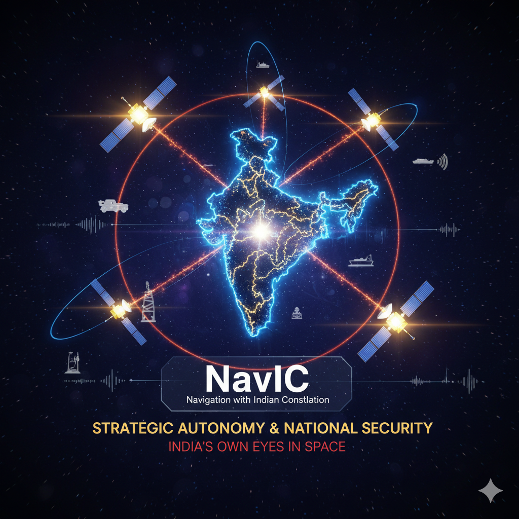
The genesis of India’s indigenous satellite navigation system, NavIC, is not merely a tale of technological ambition but a profound declaration of national strategic autonomy. The necessity for an independent regional constellation arose from critical vulnerabilities inherent in relying on foreign-controlled Global Navigation Satellite Systems (GNSS), primarily the US-operated Global Positioning System (GPS).
The Inviolable Need for Self-Reliance
The primary and most compelling argument for NavIC is the mitigation of geopolitical risk.
1. The Spectre of Signal Denial and Degradation
Modern warfare, logistics, and critical infrastructure (telecommunications, banking, power grids) are fundamentally dependent on precise Positioning, Navigation, and Timing (PNT) data. Systems like GPS are owned and operated by their respective defense establishments. In moments of international tension or conflict, the controlling nation holds the unilateral power to restrict, degrade, or completely deny access to the high-accuracy signals used by external military forces.
This became a stark reality for India during the 1999 Kargil conflict. The denial of precise GPS data over the combat zone underscored the precarious situation of relying on a system where access is a privilege, not a sovereign right. NavIC resolves this dependency entirely. By having the entire system—from the satellites and ground control to the user receivers—under Indian sovereign control, the nation guarantees uninterrupted, high-integrity PNT service for its defense forces and strategic assets, regardless of the global political climate.
2. Assured Access for Defense Operations (Restricted Service)
NavIC is engineered for a dual-service capability:
- Standard Positioning Service (SPS): Open for general civilian and commercial use.
- Restricted Service (RS): An encrypted, high-accuracy signal reserved for authorized users, primarily the military.
The Restricted Service ensures that India’s advanced defense platforms—guided missiles, fighter jets, naval vessels, and unmanned aerial vehicles (UAVs)—can navigate, target, and operate with assured precision, free from the threat of external manipulation or jamming attempts. This control over the encrypted PNT signal is indispensable to national security planning.
3. Securing Critical National Infrastructure (CNI)
Beyond the military, NavIC underpins the functionality of all critical national infrastructure. Financial networks and telecommunication systems require nanosecond-level timing accuracy for synchronization. Should a foreign-controlled timing source be corrupted or fail, the resulting cascade failure could cripple the nation’s economy and communication backbone. NavIC provides a robust, locally controlled, and highly stable timing reference, fortifying the resilience of India’s CNI against deliberate attack or accidental failure.
II. The Architecture of Precision: How NavIC Achieves Navigation
NavIC’s strength lies in its unique architectural design, which is optimized for providing maximum availability and accuracy over its defined service area: the entire Indian landmass and a region extending 1,500 km from its borders.
The Hybrid Orbital Constellation
Unlike the global GPS, which uses over 30 satellites in Medium Earth Orbit (MEO), NavIC employs a smaller, more focused constellation designed specifically for a regional footprint. The constellation consists of seven operational satellites (with backup satellites available):
- Three Geostationary Earth Orbit (GEO) Satellites: Positioned at a high altitude of approximately 35,786 km over the equator, these satellites appear fixed relative to a point on Earth. This placement ensures a constant, wide-area view of the Indian region, guaranteeing maximum signal availability.
- Four Geosynchronous Satellite Orbit (GSO) Satellites: These satellites are also at the same high altitude but orbit with an inclination, tracing a predictable, repeating figure-eight pattern in the sky. This inclined orbit is crucial for enhancing the geometric strength of the satellite signals over the region.
This GEO/GSO hybrid geometry ensures that a minimum of four satellites are continuously visible from any location within the primary service area. This high elevation angle of the satellites also means signals are less prone to being obstructed by tall buildings in urban “canyons” or dense foliage, a significant advantage over lower-orbiting global systems in dense Indian cities and forests.
The Principle of Enhanced Accuracy
NavIC elevates positioning accuracy through two key technical features:
A. Dual-Frequency Transmission
NavIC broadcasts its signals on two separate frequency bands: L5-band (∼1176.45 MHz) and S-band (∼2492.028 MHz).
- Ionospheric Error Correction: Signals travelling from the satellite to the receiver pass through the Earth’s ionosphere, an ionized layer that slows down the radio waves, introducing a positioning error. The effect is particularly variable and severe over tropical regions like India. By measuring the signal delay simultaneously on two different frequencies, the NavIC receiver can accurately model and cancel out the ionospheric delay in real-time. This dual-frequency capability provides a far more robust and accurate position fix than single-frequency systems.
B. The Ground Segment: The Engine of Integrity
The integrity and precision of the navigation signal are maintained by a sophisticated network of ground stations:
- IRNSS Range and Integrity Monitoring Stations (IRIMS): These stations track the signals, measure delays, and monitor the health and performance of the orbiting satellites.
- IRNSS Network Timing Centre (IRNWT): This facility houses highly stable atomic clocks that maintain the NavIC System Time. All navigation is fundamentally a measurement of time, and this center ensures the time standard is impeccably precise.
- Master Control Facility (MCF): The brain of the system, which processes the data from the monitoring stations to calculate the satellites’ precise orbital positions (ephemeris) and clock corrections. This critical data is then uplinked to the satellites for broadcasting to users.
The Navigation Mechanism (Trilateration)
The actual calculation of a user’s position is based on the fundamental principle of trilateration (sometimes referred to as ranging).
- Time of Flight: Each satellite transmits a signal containing the precise time it left the satellite.
- Distance Calculation: The user’s NavIC receiver records the arrival time. The time difference between transmission and reception, multiplied by the speed of light (c), gives the distance (range) to the satellite. Distance=(Timereceived−Timetransmitted)×c
- Position Fix: The receiver knows its location must be on a sphere whose radius is the calculated distance from the known satellite position. To solve for the three unknown coordinates (x,y,z) of the receiver’s location, distances from three satellites are theoretically sufficient. However, because the receiver’s internal clock is not perfectly synchronized with the satellite’s atomic clock, a fourth satellite is required to solve for the fourth unknown variable: the time offset (Δt) of the user’s receiver clock.
- Continuous Solution: By constantly tracking four or more satellites, the receiver provides a real-time, highly accurate, four-dimensional solution: position (x,y,z) and time (t).
III. Transformative Impact: NavIC’s Role in National Development
NavIC is designed as a catalyst for economic efficiency and social safety, driving applications across core sectors.
1. Transportation and Logistics Modernization
NavIC is mandated for all commercial vehicles in India.
- Smart Logistics: Enables vehicle tracking, optimized route planning, and fleet management, drastically reducing logistics costs and improving delivery timelines.
- Road Safety and Emergency: NavIC-compliant devices include panic buttons for emergency signaling, which transmits a vehicle’s precise location to emergency responders, dramatically cutting down response times in accidents or security incidents.
- Marine Safety: Crucial for the vast coastline and fishing fleet. NavIC offers navigation services and, uniquely, a Short Message Service (SMS) capability to communicate essential information, such as weather alerts, directly to receivers on fishing vessels operating up to 1,500 km offshore.
2. Lifeline for Disaster Management
NavIC is an invaluable asset during natural disasters because its signal is highly reliable and independent of terrestrial infrastructure that can be destroyed.
- High-Integrity Messaging: The unique messaging feature allows disaster management agencies to broadcast real-time alerts, evacuation instructions, and localized warnings (e.g., cyclone paths, flood warnings) directly to citizens’ NavIC-enabled devices, even when cellular networks fail.
- Resource Coordination: Provides accurate coordinates for rescue teams, helicopters, and aid convoys, allowing authorities to precisely track and manage relief efforts in the most affected, often unmapped, areas.
3. Precision Timing for the Digital Economy
The stability of NavIC’s time signal is foundational for all high-speed and secure digital services.
- Financial Synchronization: Ensures that financial transactions, high-frequency trading, and ATM networks are all synchronized to the exact same time standard, maintaining integrity and legality.
- 5G and Telecommunications: The rollout of advanced communication networks like 5G requires ultra-precise timing synchronization across thousands of base stations. NavIC provides this stable, indigenous time reference, reducing reliance on imported timing sources.
4. Scientific Advancement and Commerce
The high-accuracy positioning data is a boon for surveying and emerging technologies.
- Precision Agriculture (P-Ag): Enables farmers to use satellite guidance for tractors, variable-rate fertilizer application, and yield monitoring, increasing efficiency and sustainability.
- Mapping and Geodesy: Provides the fundamental geodetic reference points necessary for creating accurate maps, infrastructure planning, and scientific studies of Earth’s crustal movements.
- Technological Ecosystem: The government’s push for NavIC compatibility has spurred domestic manufacturers like chipmakers to integrate NavIC receivers into consumer devices, fostering a massive indigenous technology ecosystem and creating new jobs and expertise in the space application sector.
5. Conclusion
In summation, NavIC is far more than a technical marvel; it is an assertion of national resilience. It provides India with a permanent, high-fidelity, and secure solution for PNT services, insulating the nation from geopolitical turbulence and laying the foundational digital infrastructure for its continued economic and strategic growth.