Introduction
As cities grow increasingly complex, urban planners face the daunting task of balancing growth, sustainability, resilience, and quality of life. Traditional planning tools, although effective in certain scenarios, often fall short in predicting dynamic urban challenges. Enter Digital Twins — one of the most groundbreaking technological innovations in urban planning.
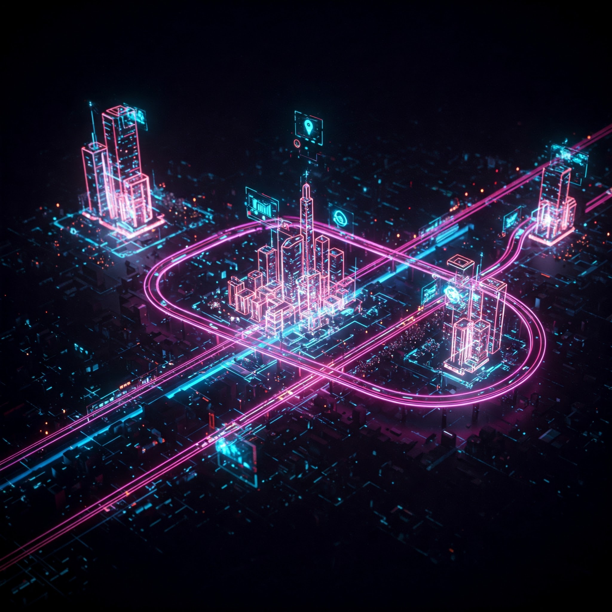
A digital twin is a virtual replica of a physical object or system, enriched with real-time data. When applied to cities, it enables planners and policymakers to simulate, analyze, and predict urban dynamics with unmatched accuracy. This article explores how digital twins are reshaping urban planning, their components, real-world applications, and challenges.
What is a Digital Twin?
A Digital Twin is a dynamic, digital representation of a physical entity or system, continuously updated with real-world data. In the context of urban planning, it includes the replication of entire cities or specific infrastructure, combined with Internet of Things (IoT) sensors, geospatial data, and artificial intelligence (AI) to offer real-time monitoring, simulation, and forecasting capabilities.
Unlike static models, digital twins are:
- Interactive – Users can simulate scenarios and assess outcomes.
- Real-time – Continuously updated with live data.
- Predictive – Uses AI and machine learning for forecasting.
Evolution of Digital Twins in Urban Planning
The concept of digital twins originated in manufacturing and aerospace industries, where engineers created virtual models of machinery to predict performance and maintenance needs. Over time, as urban systems became digitized, planners saw an opportunity to replicate entire cities.
With advancements in big data, AI, IoT, GIS (Geographic Information Systems), and 3D modeling, digital twins have now evolved into integral tools in smart city ecosystems.
Components of a Digital Twin in Urban Planning
- Physical Layer (City Infrastructure)
- Roads, buildings, utilities, transportation systems, and public spaces.
- Roads, buildings, utilities, transportation systems, and public spaces.
- Data Layer
- Real-time data from sensors, satellites, traffic cameras, social media, weather stations, etc.
- Real-time data from sensors, satellites, traffic cameras, social media, weather stations, etc.
- Processing Layer
- AI and machine learning algorithms analyze data and create simulations.
- AI and machine learning algorithms analyze data and create simulations.
- Visualization Layer
- 3D models and dashboards help planners visualize the entire urban system and test hypothetical scenarios.
- 3D models and dashboards help planners visualize the entire urban system and test hypothetical scenarios.
- Feedback Loop
- Data from the digital twin is used to inform real-world decisions, which in turn provide new data to refine the model.
Applications of Digital Twins in Urban Planning
1. Infrastructure Development and Simulation
Digital twins allow planners to test and simulate the impact of new buildings, roads, or public transport systems before actual construction.
Benefits:
- Avoids costly planning errors.
- Reduces environmental and social disruptions.
- Enhances public consultation with visual aids.
Example: In Singapore, the Virtual Singapore initiative created a digital twin of the entire city to simulate urban planning and development.
2. Traffic and Mobility Management
Digital twins integrate traffic data, public transport usage, and pedestrian movements to optimize urban mobility.
Features:
- Simulating traffic flow changes from new road layouts.
- Real-time public transport monitoring.
- Designing smart traffic light systems.
Example: Helsinki uses a digital twin to test mobility strategies, improve pedestrian infrastructure, and reduce vehicle congestion.
3. Climate Resilience and Environmental Management
Urban digital twins can model environmental factors like air quality, noise pollution, and urban heat islands.
Capabilities:
- Forecasting the impact of green infrastructure.
- Planning for climate events like floods or heatwaves.
- Designing more energy-efficient buildings.
Example: The city of Rotterdam uses digital twins to model and manage flood risks in low-lying areas.
4. Energy and Utility Optimization
Digital twins help optimize energy consumption across a city’s buildings and infrastructure.
Applications:
- Monitoring electricity and water usage.
- Identifying inefficient systems or high-consumption zones.
- Integrating renewable energy sources.
Example: Zurich uses a citywide digital twin to monitor energy distribution and identify areas for improvement.
5. Urban Redevelopment and Land Use Planning
Planners use digital twins to assess the long-term impact of rezoning, redevelopment, and new land-use policies.
Advantages:
- Visualizing population growth effects.
- Simulating the socio-economic impact of housing projects.
- Promoting equitable development.
Example: In India, the Andhra Pradesh Capital Region Development Authority explored digital twin tools for new capital city planning.
6. Emergency Management and Disaster Response
Digital twins assist in risk assessment, emergency planning, and real-time response to disasters.
Uses:
- Modeling evacuation plans.
- Monitoring seismic or flood zones.
- Testing crisis response protocols.
Example: In New York City, digital twins are being explored for emergency simulation and disaster resilience planning.
Technologies Powering Digital Twins
- Geographic Information Systems (GIS): Provide spatial and mapping data.
- IoT Sensors: Offer real-time data on temperature, humidity, traffic, pollution, etc.
- Artificial Intelligence & Machine Learning: Analyze complex data patterns for predictions.
- 5G & Edge Computing: Ensure fast data transmission and local data processing.
- 3D and 4D Modeling Tools: Used for building visual, interactive city replicas.
- Cloud Computing: Supports data storage and processing at scale.
Benefits of Digital Twins in Urban Planning
✅ Enhanced Decision-Making
Data-driven simulations help decision-makers evaluate multiple scenarios and choose the most effective solutions.
✅ Cost and Time Efficiency
Avoids trial-and-error in real-world implementations, reducing delays and cost overruns.
✅ Citizen Engagement
Interactive models allow residents to better understand proposed changes and offer informed feedback.
✅ Sustainability
Helps planners design energy-efficient, low-emission infrastructure and manage resources responsibly.
✅ Risk Management
Provides predictive tools for identifying vulnerabilities and preparing for disasters or population changes.
Challenges and Concerns
Despite their benefits, digital twins face several practical and ethical issues:
1. High Cost and Technical Complexity
Developing and maintaining digital twins require significant investment in infrastructure, software, and skilled personnel.
2. Data Privacy and Security
Real-time data collection from citizens and public spaces raises privacy concerns.
3. Integration with Legacy Systems
Many cities still operate on outdated digital systems that may not support digital twin technologies.
4. Data Standardization
Inconsistent or incompatible data sources can lead to errors in simulations.
5. Digital Divide
Citizens without access to digital tools or literacy may be excluded from the decision-making process.
Global Case Studies
🌐 Singapore – Virtual Singapore
A 3D digital twin of the entire city-state, used for infrastructure planning, disaster simulation, and policy-making.
🌐 Shanghai – Smart City Twin
Shanghai uses digital twins to monitor real-time transportation, energy, and environmental systems.
🌐 Dublin – Smart Docklands Project
A collaboration between local authorities and technology partners to create a digital twin of Dublin’s docklands area for smart planning.
🌐 India – Amaravati (Proposed)
As part of the new capital city plans, digital twin technologies were proposed to model infrastructure and optimize city services.
The Future of Digital Twins in Urban Planning
The future of digital twins lies in their integration with emerging technologies like:
- Augmented Reality (AR) for immersive public consultations.
- Blockchain for secure data sharing and transparent planning.
- Quantum Computing for ultra-fast simulations of complex systems.
Moreover, as AI becomes more advanced, digital twins will evolve from reactive models to prescriptive tools that suggest optimal urban strategies in real-time.
We may soon see:
- Entire smart cities developed first as digital twins.
- Automated city governance guided by digital twin insights.
- Open digital twin platforms enabling citizen co-planning.
Conclusion
Digital twins are revolutionizing urban planning by transforming how cities are visualized, understood, and managed. By combining real-time data, simulation capabilities, and AI-driven insights, they enable planners to create smarter, more resilient, and people-centric urban environments.
However, to fully unlock their potential, cities must invest in infrastructure, privacy protection, capacity building, and inclusive design strategies. As the world faces climate change, rapid urbanization, and infrastructure strain, digital twins offer a powerful solution — enabling us to build cities not just for today, but for the future.


