Introduction
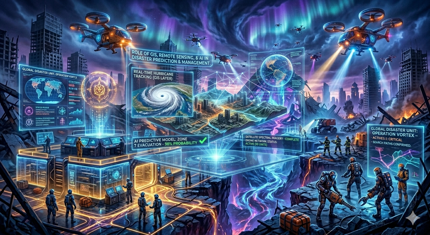
In the contemporary era, disasters are becoming increasingly frequent, intense, and complex due to climate change, environmental degradation, and rapid urbanization. Traditional methods of disaster management—largely reactive and manual—are no longer sufficient to handle such challenges. The integration of modern technologies such as Geographic Information Systems (GIS), Remote Sensing, and Artificial Intelligence (AI) has revolutionized disaster prediction and management by enabling data-driven, timely, and precise decision-making.
Technology today plays a critical role across all phases of disaster management—mitigation, preparedness, response, and recovery—thereby significantly reducing loss of life and property. However, its effectiveness also depends on accessibility, coordination, and proper implementation.
Understanding the Role of Technology in Disaster Management
Conceptual Overview
Technology in disaster management refers to the application of scientific tools, data systems, and digital innovations to predict hazards, assess risks, respond efficiently, and rebuild sustainably. These technologies provide:
- Real-time data and analysis
- Accurate forecasting and early warning
- Enhanced coordination among agencies
- Efficient resource allocation
The integration of GIS, remote sensing, and AI has created a multi-dimensional and proactive disaster management framework.
Role of Geographic Information Systems (GIS)
What is GIS?
GIS is a computer-based system used to capture, store, analyze, and visualize geographic data. It allows the mapping of spatial information such as terrain, population density, infrastructure, and hazard-prone areas.
Applications in Disaster Prediction and Management
1. Hazard Mapping and Risk Assessment
GIS helps in identifying disaster-prone regions by overlaying various datasets such as rainfall, elevation, and land use.
- Flood-prone zones can be mapped accurately
- Earthquake vulnerability zones can be identified
- Landslide risk areas can be predicted
2. Planning and Mitigation
Authorities use GIS to:
- Plan land use effectively
- Avoid construction in high-risk areas
- Design evacuation routes
3. Real-Time Monitoring
GIS enables real-time tracking of disasters such as:
- Movement of cyclones
- Spread of floods
- Forest fires
4. Post-Disaster Analysis
GIS helps in damage assessment by comparing pre- and post-disaster data, aiding in recovery planning.
Evaluation of GIS
Strengths
- Provides visual and spatial clarity
- Enhances decision-making accuracy
- Supports long-term planning
Limitations
- Requires technical expertise
- Data availability and accuracy issues
- High initial setup costs
Role of Remote Sensing
What is Remote Sensing?
Remote sensing involves the collection of data about the Earth’s surface using satellites, drones, or aerial sensors without direct contact. It provides large-scale and real-time environmental information.
Applications in Disaster Management
1. Early Warning Systems
Remote sensing satellites monitor:
- Cyclone formation in oceans
- Rainfall patterns
- Temperature changes
This helps in issuing timely warnings.
2. Disaster Monitoring
It is used to track:
- Flood extent
- Forest fires
- Drought conditions
Real-time images allow authorities to respond quickly.
3. Damage Assessment
After a disaster, satellite images help in:
- Identifying affected areas
- Estimating damage to infrastructure
- Planning relief operations
4. Environmental Monitoring
Remote sensing supports long-term monitoring of:
- Deforestation
- Glacier melting
- Coastal erosion
Evaluation of Remote Sensing
Strengths
- Covers large and inaccessible areas
- Provides real-time and accurate data
- Useful for early warning and monitoring
Limitations
- Weather conditions (e.g., cloud cover) may affect data quality
- High cost of satellite technology
- Requires skilled interpretation
Role of Artificial Intelligence (AI)
What is AI in Disaster Management?
Artificial Intelligence refers to the use of algorithms and machine learning models to analyze data, identify patterns, and make predictions. AI enhances the speed and accuracy of decision-making.
Applications in Disaster Prediction and Management
1. Predictive Analytics
AI analyzes historical and real-time data to predict:
- Flood occurrences
- Earthquake probabilities
- Cyclone paths
This improves forecasting accuracy.
2. Early Warning Systems
AI-powered systems can:
- Generate automated alerts
- Analyze weather patterns rapidly
- Improve warning dissemination
3. Disaster Response Optimization
AI helps in:
- Identifying priority areas for rescue
- Optimizing resource allocation
- Managing logistics efficiently
4. Social Media and Data Analysis
AI tools analyze social media data to:
- Identify affected areas
- Track public needs
- Detect misinformation
5. Robotics and Automation
AI-driven robots and drones are used for:
- Search and rescue operations
- Delivering relief materials
- Inspecting hazardous areas
Evaluation of AI
Strengths
- High-speed data processing
- Improved prediction accuracy
- Automation of complex tasks
Limitations
- Dependence on quality data
- Ethical and privacy concerns
- High development and maintenance costs
Integrated Role of Technology in Disaster Management
Synergy Between GIS, Remote Sensing, and AI
The true potential of technology lies in integration:
- Remote sensing provides raw data
- GIS organizes and visualizes spatial data
- AI analyzes and predicts patterns
Together, they create a comprehensive disaster management system capable of:
- Real-time monitoring
- Accurate forecasting
- Efficient response planning
Impact of Technology Across Disaster Management Phases
1. Mitigation Phase
- Risk mapping using GIS
- Environmental monitoring through remote sensing
- AI-based risk assessment
2. Preparedness Phase
- Early warning systems
- Simulation models
- Public awareness through digital platforms
3. Response Phase
- Real-time data for rescue operations
- Drone-based surveillance
- AI-driven resource allocation
4. Recovery Phase
- Damage assessment using satellite imagery
- Reconstruction planning using GIS
- Data analysis for future risk reduction
Challenges in the Use of Technology
Despite its advantages, several challenges limit the effectiveness of technology:
1. Digital Divide
Limited access to technology in rural and remote areas reduces its impact.
2. High Costs
Advanced technologies require significant investment in infrastructure and training.
3. Data Management Issues
- Lack of standardized data
- Data sharing constraints
- Privacy concerns
4. Institutional and Coordination Gaps
Effective use of technology requires coordination among multiple agencies, which is often lacking.
Way Forward
1. Strengthening Technological Infrastructure
- Expand digital networks
- Invest in advanced tools and systems
2. Capacity Building
- Train personnel in GIS, remote sensing, and AI
- Promote technical education
3. Promoting Data Sharing
- Develop integrated data platforms
- Encourage collaboration among agencies
4. Enhancing Accessibility
- Use mobile-based applications for early warnings
- Ensure technology reaches grassroots levels
5. Encouraging Innovation
- Support research and development
- Promote public-private partnerships
Conclusion
Technology has become an indispensable component of modern disaster management. Tools such as GIS, remote sensing, and AI have transformed the way disasters are predicted, monitored, and managed. They enable a shift from reactive responses to proactive and preventive strategies, significantly reducing disaster risks.
However, the effectiveness of technology depends on its integration with governance systems, accessibility to communities, and continuous innovation. By addressing existing challenges and leveraging technological advancements, India can build a robust, efficient, and future-ready disaster management system capable of safeguarding lives and ensuring sustainable development.