Introduction
North America possesses one of the world’s longest and most diverse coastlines, stretching along the Atlantic Ocean, Pacific Ocean, Arctic Ocean, and the Gulf of Mexico. Among these, the Atlantic, Pacific, and Gulf coasts exhibit distinct coastal landforms that reflect differences in tectonic activity, climate, wave energy, sea-level changes, sediment supply, and geological history. Coastal geomorphology—the study of landforms created by marine processes—helps explain how waves, tides, currents, rivers, wind, and tectonic forces interact to shape these dynamic environments.
The Atlantic Coast is generally characterized by broad coastal plains, barrier islands, estuaries, lagoons, and sandy beaches. In contrast, the Pacific Coast is dominated by rugged cliffs, rocky headlands, sea stacks, marine terraces, and fjords due to active tectonic processes and intense wave erosion. The Gulf Coast is primarily a depositional coastline featuring extensive deltas, marshes, wetlands, barrier islands, coastal lagoons, and sandy beaches formed by abundant river sediments and relatively gentle marine conditions.
These coastal landscapes are not only important from a geomorphological perspective but also support rich ecosystems, fisheries, tourism, transportation, and economic development. Understanding their formation provides valuable insights into coastal evolution, environmental change, and sustainable coastal management.
Coastal Geomorphology
Coastal geomorphology is the branch of physical geography that studies landforms created by the interaction of land and the sea.
Major geomorphic processes include:
- Wave erosion
- Sediment transportation
- Marine deposition
- Longshore drift
- Tidal action
- River sedimentation
- Sea-level changes
- Tectonic uplift and subsidence
These processes continuously modify coastlines over time.
Major Coastal Regions of North America
North America’s coastline can be divided into three major regions:
- Atlantic Coast
- Pacific Coast
- Gulf Coast
Each region has unique geological characteristics and landforms.
Coastal Landforms of the Atlantic Coast
The Atlantic Coast extends from Newfoundland in Canada to southern Florida in the United States.
It is considered a passive continental margin, meaning it experiences little tectonic activity compared with the Pacific Coast.
1. Coastal Plains
Description
The Atlantic Coastal Plain is a broad, gently sloping lowland extending inland from the shoreline.
Formation
It formed through millions of years of:
- River deposition
- Marine sediment accumulation
- Sea-level fluctuations
Characteristics
- Flat topography
- Sandy soils
- Low elevation
- Extensive wetlands
2. Sandy Beaches
Long stretches of sandy beaches occur along much of the Atlantic coastline.
Formation
Beaches develop through:
- Wave deposition
- Longshore drift
- River sediment supply
Importance
- Tourism
- Recreation
- Coastal protection
3. Barrier Islands
Barrier islands are long, narrow offshore islands separated from the mainland by lagoons or bays.
Examples include:
- Outer Banks (North Carolina)
- Assateague Island
- Long Island barrier systems
Formation
Barrier islands develop through:
- Wave action
- Longshore currents
- Sand deposition
- Sea-level rise
4. Lagoons
Lagoons are shallow water bodies located between barrier islands and the mainland.
Formation
They form as barrier islands isolate portions of coastal water.
5. Estuaries
Estuaries occur where rivers meet the ocean.
Examples include:
- Chesapeake Bay
- Delaware Bay
- Hudson Estuary
Formation
They developed when rising sea levels flooded river valleys after the last Ice Age.
6. Salt Marshes
Salt marshes occupy low-lying coastal areas protected from strong wave action.
Formation
Fine sediments accumulate under tidal influence, allowing salt-tolerant vegetation to establish.
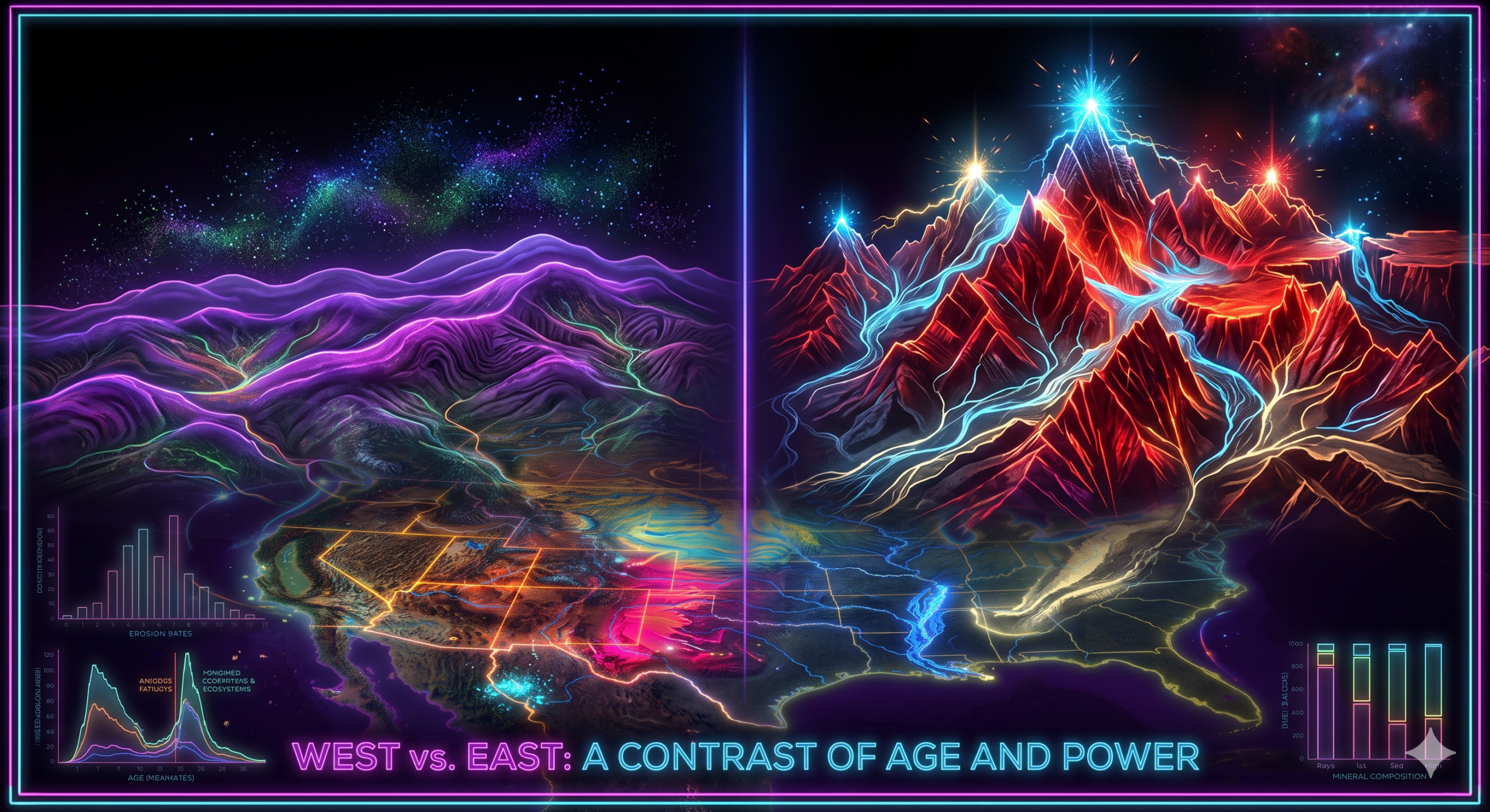
Coastal Landforms of the Pacific Coast
The Pacific Coast extends from Alaska through western Canada and the United States to Mexico.
Unlike the Atlantic Coast, it is an active continental margin strongly influenced by tectonic activity.
1. Sea Cliffs
Steep coastal cliffs dominate much of the Pacific shoreline.
Formation
Powerful waves erode the base of rocky coasts, causing cliffs to retreat over time.
2. Rocky Headlands
Headlands are resistant rock masses projecting into the sea.
Formation
Differential erosion removes softer rocks while harder rocks remain.
3. Sea Caves
Wave action enlarges natural fractures in coastal cliffs.
Continued erosion creates sea caves.
4. Sea Arches
When erosion cuts completely through a headland, a sea arch forms.
These are temporary landforms that eventually collapse.
5. Sea Stacks
After a sea arch collapses, isolated rock pillars remain offshore.
These are called sea stacks.
6. Wave-Cut Platforms
As cliffs retreat, waves create gently sloping rock surfaces at sea level.
These are known as wave-cut platforms.
7. Marine Terraces
Marine terraces are former wave-cut platforms that have been uplifted by tectonic activity.
They are common along California’s coastline.
8. Fjords
Deep glacial valleys flooded by seawater form fjords.
Examples occur in:
- Alaska
- British Columbia
These landforms were carved by glaciers during the Pleistocene Ice Age.
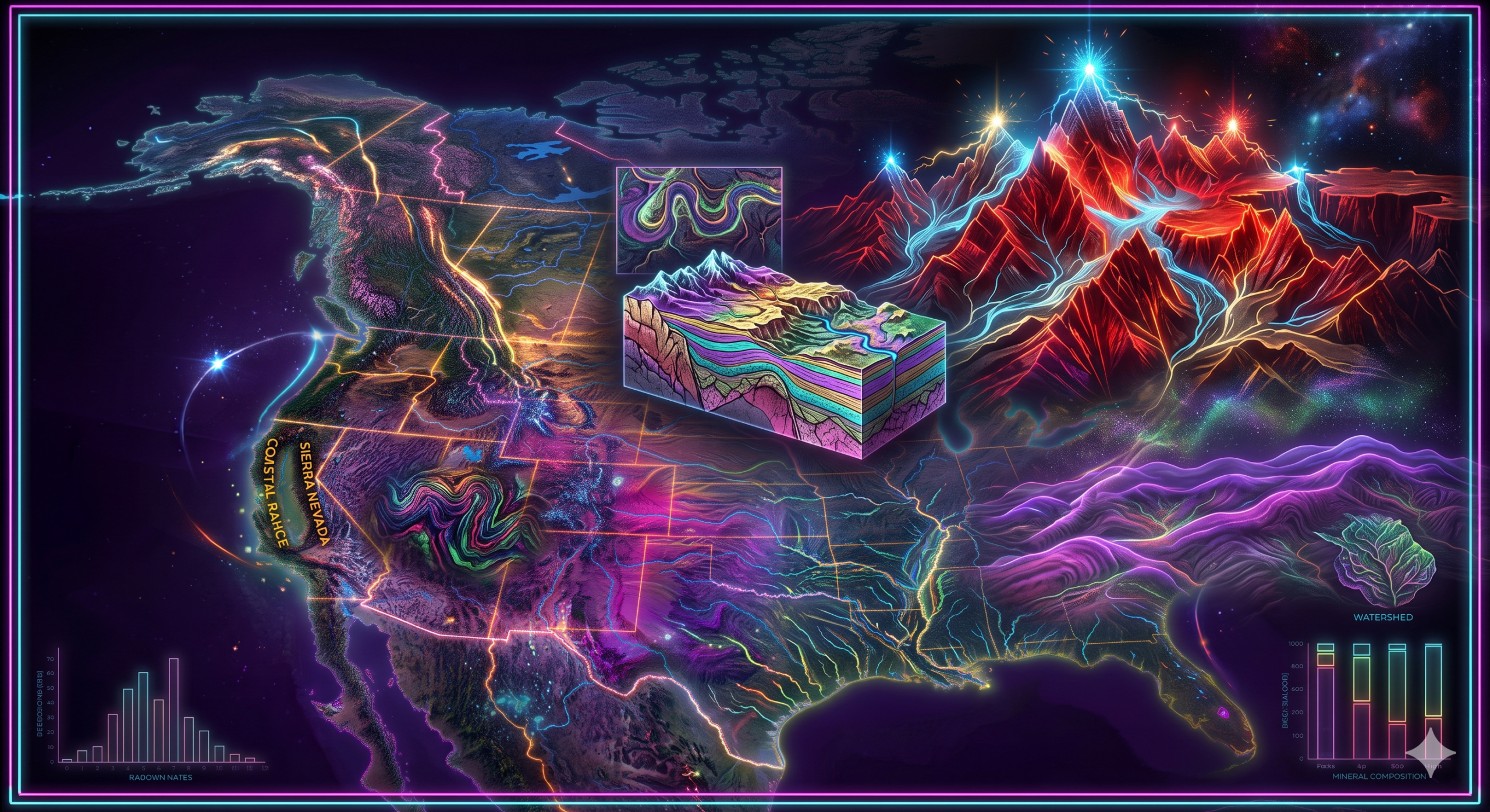
9. Coastal Mountains
The Pacific Coast also features mountain ranges located close to the shoreline.
Examples include:
- Coast Mountains
- Cascade Range
- Sierra Nevada (near the coast)
- Coastal Ranges of California
These mountains strongly influence coastal geomorphology.
Coastal Landforms of the Gulf Coast
The Gulf Coast extends from Florida to Texas along the Gulf of Mexico.
It is predominantly a low-lying depositional coastline.
1. Mississippi Delta
The Mississippi Delta is the largest coastal depositional landform in North America.
Formation
Over thousands of years, the Mississippi River deposited enormous quantities of sediment where it enters the Gulf.
Characteristics
- Distributary channels
- Wetlands
- Marshes
- Mudflats
2. Coastal Marshes
Extensive marshes dominate much of Louisiana.
Formation
Fine sediments accumulate under low-energy tidal conditions.
Marsh vegetation stabilizes the deposits.
3. Barrier Islands
Numerous barrier islands occur along the Gulf Coast.
Examples include:
- Padre Island
- Dauphin Island
- Galveston Island
They protect the mainland from storms.
4. Sandy Beaches
Wide sandy beaches occur throughout:
- Florida
- Alabama
- Mississippi
- Texas
These beaches develop through wave deposition and longshore drift.
5. Coastal Lagoons
Barrier islands create shallow lagoons between themselves and the mainland.
These lagoons provide important habitats for marine life.
6. Tidal Flats
Broad tidal flats occur in sheltered coastal areas.
They form where fine sediments settle during high tide.
7. Mudflats
Mudflats develop in low-energy coastal environments where clay and silt accumulate.
Geomorphic Processes Shaping the Coasts
Wave Erosion
Wave erosion is especially important along the Pacific Coast.
It produces:
- Cliffs
- Headlands
- Sea caves
- Arches
- Stacks
Marine Deposition
Deposition dominates the Atlantic and Gulf coasts.
It creates:
- Beaches
- Barrier islands
- Deltas
- Lagoons
- Sand spits
Longshore Drift
Longshore currents transport sand parallel to the coastline.
This process contributes to:
- Beach growth
- Barrier island formation
- Spit development
River Deposition
Large rivers supply enormous quantities of sediment.
Important contributors include:
- Mississippi River
- Rio Grande
- Susquehanna River
- Hudson River
Glaciation
Northern Atlantic and Pacific coasts were modified by glaciers.
Glacial erosion produced:
- Fjords
- U-shaped valleys
- Rocky coastlines
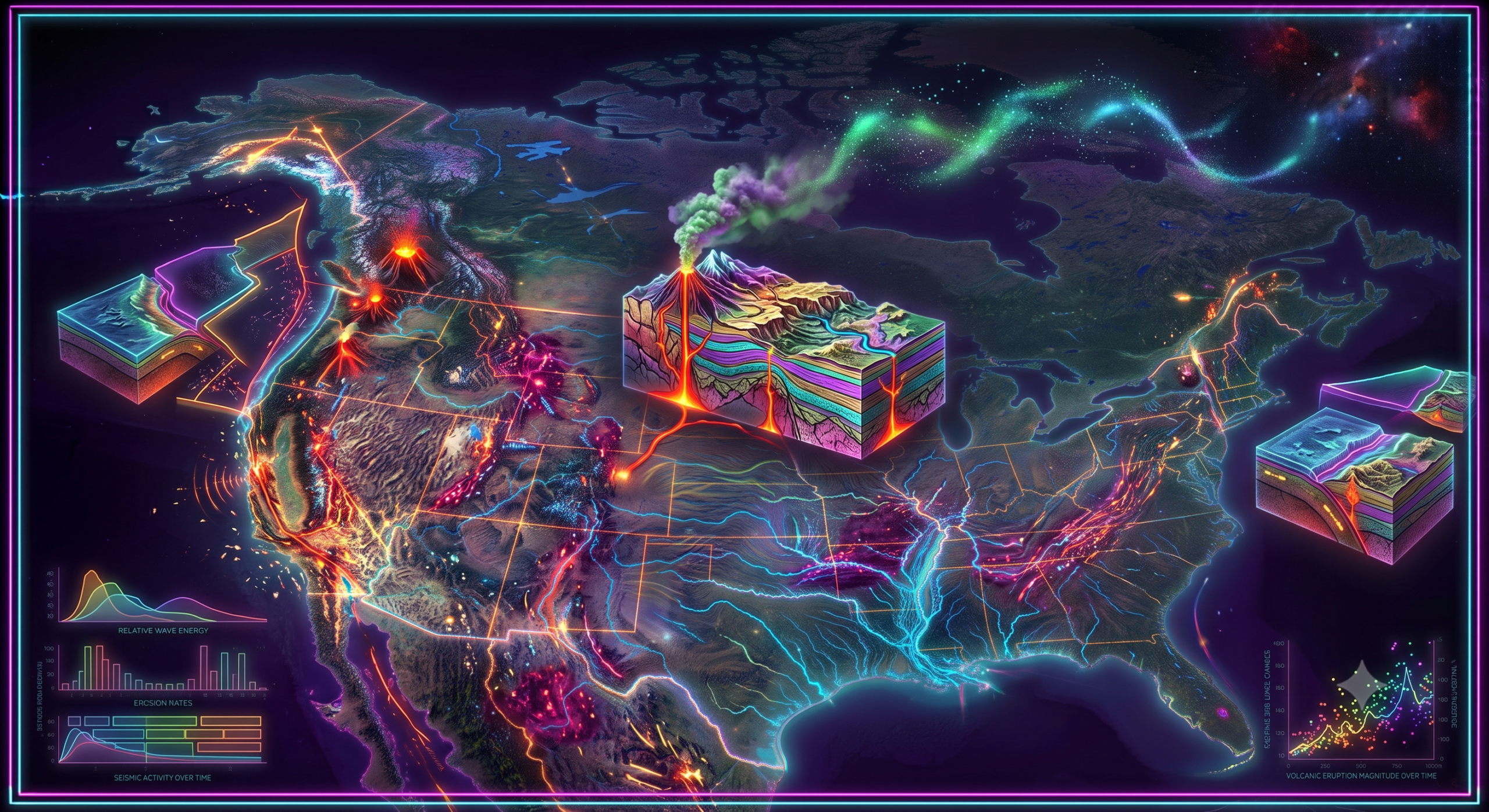
Tectonic Activity
Active tectonics dominate the Pacific Coast.
Processes include:
- Earthquakes
- Uplift
- Faulting
- Volcanism
These processes produce rugged coastal landscapes.
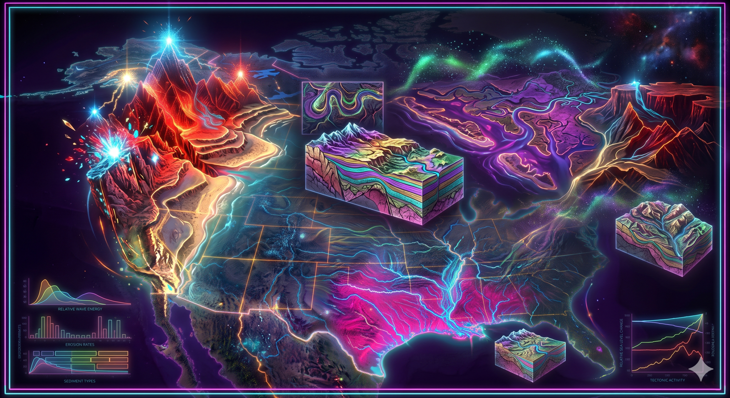
Comparison of the Three Coastal Regions
| Feature | Atlantic Coast | Pacific Coast | Gulf Coast |
|---|---|---|---|
| Tectonic Setting | Passive margin | Active margin | Passive margin |
| Dominant Process | Deposition | Erosion | Deposition |
| Coastal Relief | Low | High | Very low |
| Major Landforms | Beaches, estuaries, barrier islands | Cliffs, fjords, sea stacks | Delta, marshes, barrier islands |
| Wave Energy | Moderate | High | Low to moderate |
| Sediment Supply | Moderate | Limited | Very high |
| Earthquake Activity | Low | High | Very low |
Geomorphological Significance
The coastal landforms of North America are significant because they:
- Demonstrate marine erosion and deposition.
- Record changes in sea level.
- Preserve evidence of glaciation.
- Reflect tectonic activity along continental margins.
- Support diverse ecosystems.
- Influence coastal hydrology and sediment transport.
- Provide natural protection against storms.
- Serve as indicators of long-term landscape evolution.
Economic Importance
These coastal regions support numerous economic activities.
Fisheries
Estuaries, marshes, and lagoons provide breeding grounds for fish and shellfish.
Tourism
Beaches, cliffs, and coastal parks attract millions of visitors annually.
Transportation
Major ports along the Atlantic, Pacific, and Gulf coasts facilitate international trade.
Energy Resources
The Gulf Coast contains significant offshore oil and natural gas reserves.
Agriculture
River deltas and coastal plains possess fertile soils suitable for farming.
Environmental Challenges
North America’s coastlines face several environmental threats.
These include:
- Coastal erosion
- Sea-level rise
- Hurricanes
- Storm surges
- Wetland loss
- Saltwater intrusion
- Pollution
- Climate change
Effective coastal management is essential for protecting both natural ecosystems and human communities.
Modern Techniques for Studying Coastal Landforms
Scientists use advanced technologies to monitor coastal change.
These include:
- Satellite imagery
- Geographic Information Systems (GIS)
- Remote sensing
- LiDAR
- Drone surveys
- Coastal sediment analysis
- GPS measurements
These tools improve understanding of shoreline evolution and help develop sustainable coastal management strategies.
Conclusion
The Atlantic, Pacific, and Gulf coasts of North America display an extraordinary variety of coastal landforms shaped by different geological settings and geomorphic processes. The Atlantic Coast is characterized by broad coastal plains, sandy beaches, barrier islands, estuaries, lagoons, and salt marshes formed mainly through marine deposition and sea-level changes. In contrast, the Pacific Coast is dominated by rugged cliffs, rocky headlands, sea caves, sea arches, sea stacks, wave-cut platforms, marine terraces, and fjords created through intense wave erosion, glaciation, and active tectonic uplift. The Gulf Coast, influenced by abundant river sediments and relatively calm marine conditions, features the Mississippi Delta, coastal marshes, barrier islands, tidal flats, mudflats, lagoons, and extensive sandy beaches.
Together, these coastal landscapes illustrate the dynamic interaction of waves, tides, rivers, wind, sediment transport, glaciation, and tectonic activity in shaping North America’s shores. Beyond their geomorphological importance, they support biodiversity, fisheries, tourism, transportation, energy production, and coastal economies. Understanding these landforms is essential for appreciating the evolution of coastal environments and for addressing modern challenges such as coastal erosion, sea-level rise, and climate change through informed and sustainable coastal management.