Introduction
The Great Plains are one of the most extensive and significant physiographic regions of North America. Stretching from the Canadian provinces of Alberta, Saskatchewan, and Manitoba southward through the central United States to Texas and New Mexico, the Great Plains cover approximately 2.9 million square kilometers. This vast region lies immediately east of the Rocky Mountains and gradually slopes downward toward the Interior Plains and the Mississippi River Basin.
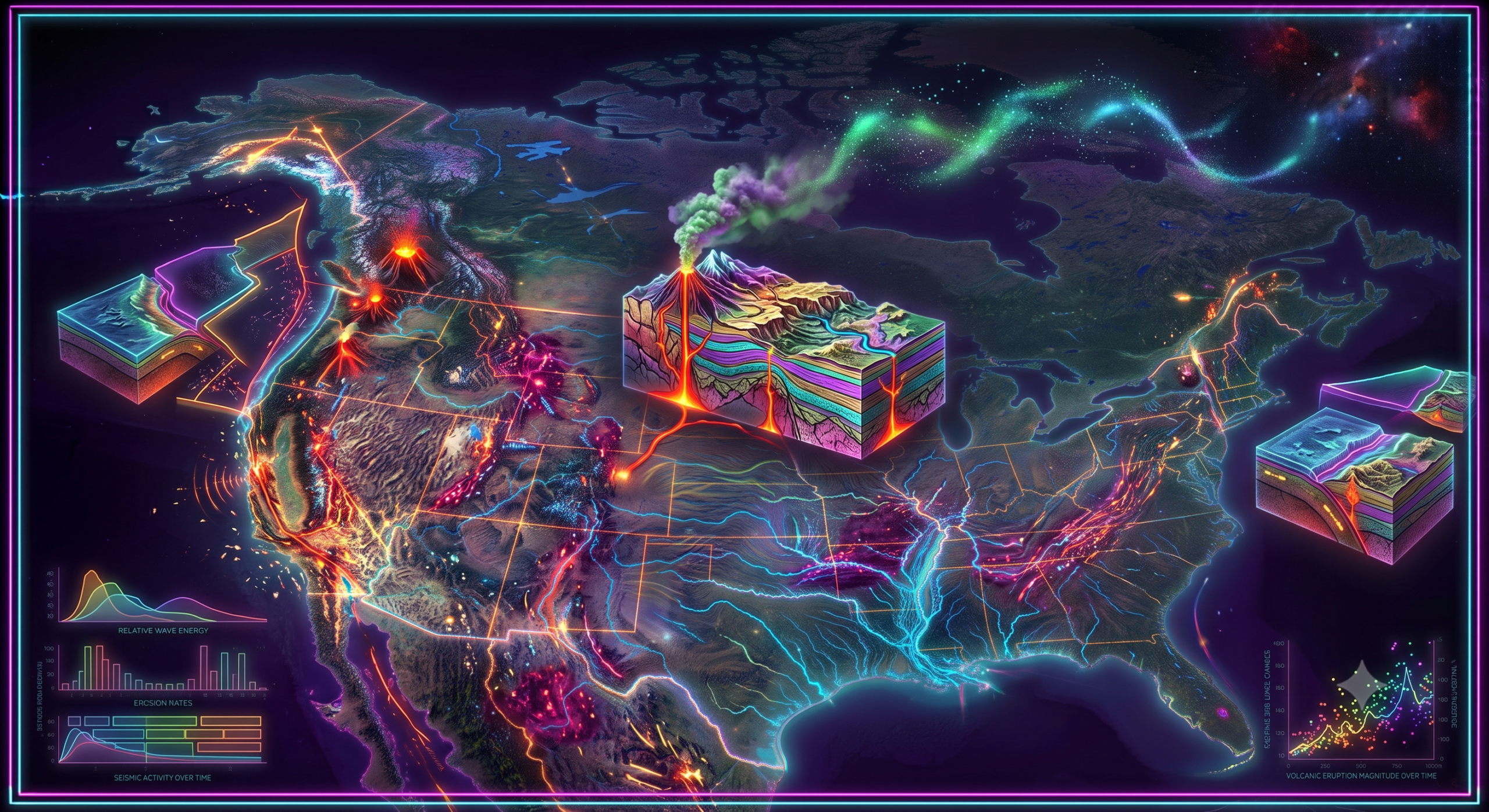
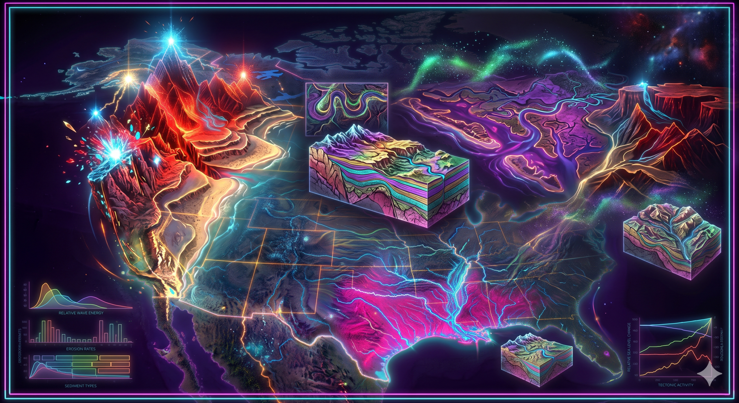
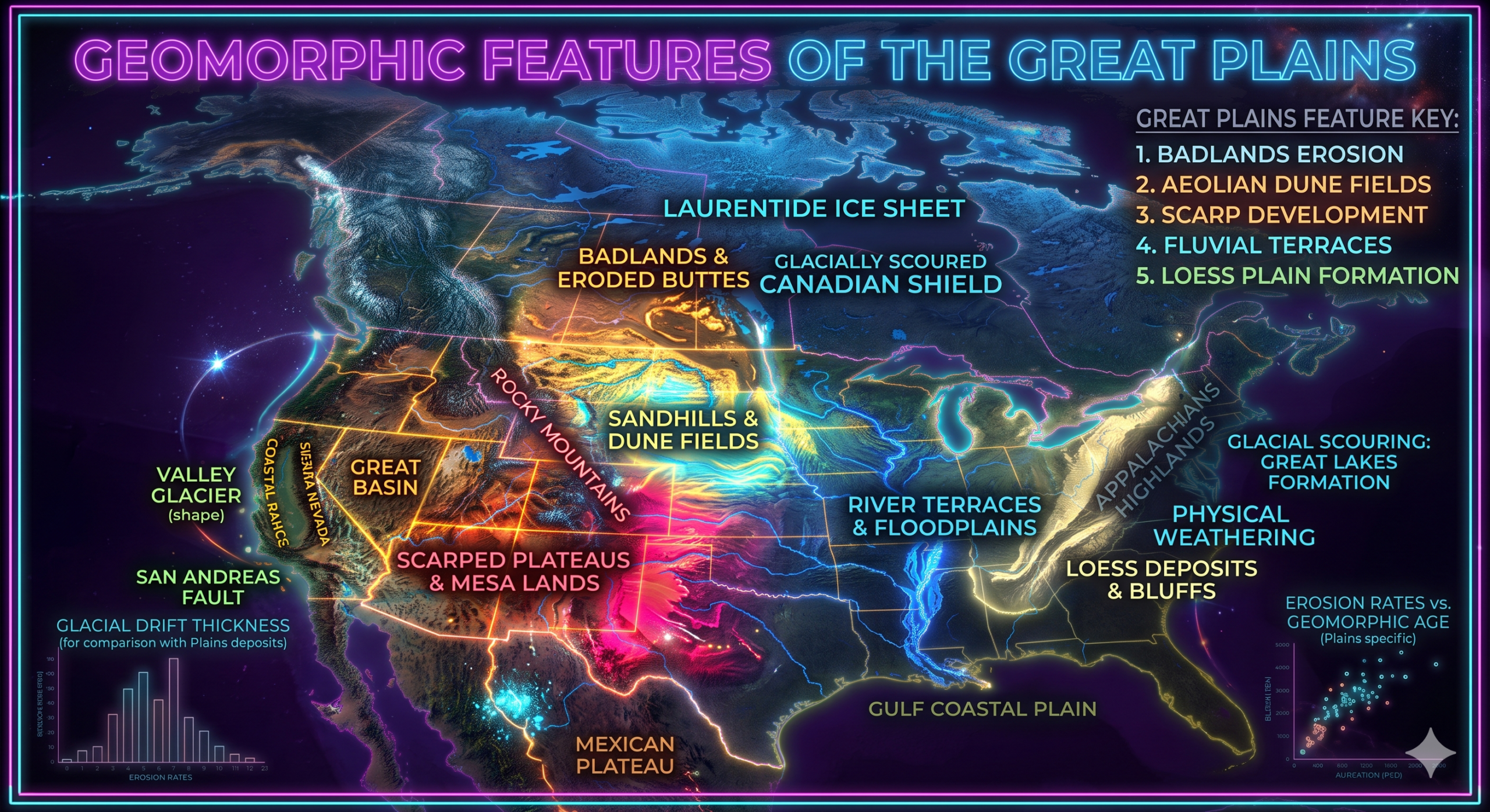
Although the Great Plains may appear flat at first glance, they are geomorphologically diverse. The region contains broad grasslands, rolling hills, river valleys, escarpments, plateaus, badlands, sand dunes, and extensive depositional surfaces. These landforms have developed through millions of years of geological activity involving mountain building, erosion, river deposition, wind action, glaciation, and climatic changes.
The modern landscape of the Great Plains is the result of sediments transported from the Rocky Mountains, ancient inland seas, glacial deposits, and ongoing weathering and erosion. Today, the region is one of the world’s most productive agricultural areas and plays an important role in North America’s economy, ecology, and water resources.
This article examines the major geomorphic features of the Great Plains and explains the natural processes responsible for their formation.
Overview of the Great Plains
The Great Plains extend for nearly 3,200 kilometers (2,000 miles) from north to south and range from 500 to 800 kilometers in width.
Countries
- Canada
- United States
Major States and Provinces
Canada
- Alberta
- Saskatchewan
- Manitoba
United States
- Montana
- North Dakota
- South Dakota
- Wyoming
- Nebraska
- Kansas
- Colorado
- Oklahoma
- Texas
- New Mexico
Geological History of the Great Plains
Understanding the geomorphic features of the Great Plains requires knowledge of their geological history.
Ancient Inland Seas
During much of the Paleozoic and Mesozoic Eras, large portions of central North America were submerged beneath shallow inland seas.
These seas deposited thick layers of:
- Limestone
- Sandstone
- Shale
- Mudstone
- Marine sediments
These sedimentary rocks became the foundation of the Great Plains.
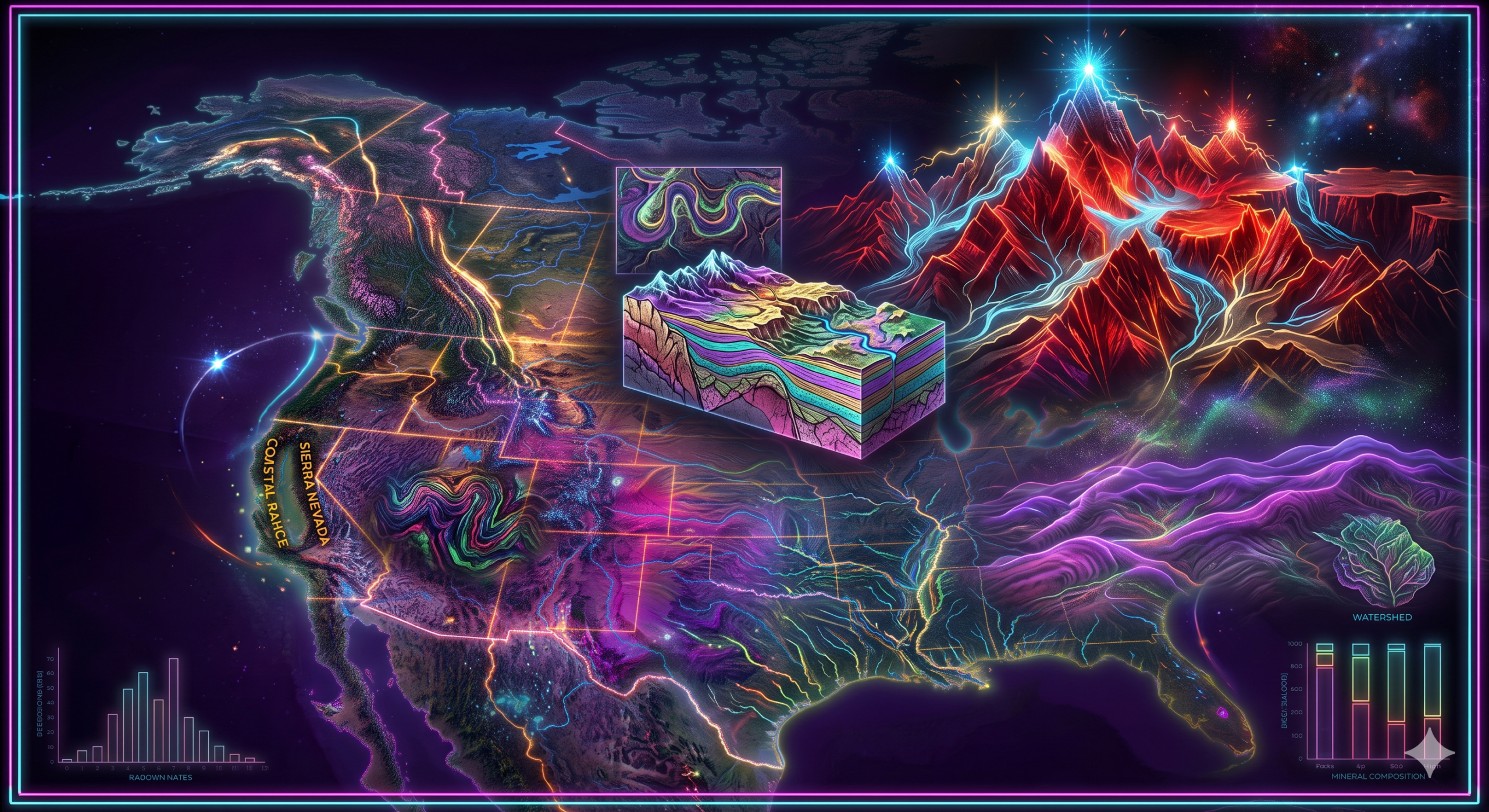
Formation of the Rocky Mountains
Approximately 80 to 55 million years ago, the Laramide Orogeny uplifted the Rocky Mountains.
As these mountains rose:
- Rivers began eroding the highlands.
- Massive quantities of gravel, sand, and silt were transported eastward.
- Thick sediment accumulated along the mountain front.
This deposition gradually formed the broad plains.
Continued Erosion
For millions of years:
- Rivers continued depositing sediments.
- Wind redistributed fine particles.
- Weathering modified rock surfaces.
- Glaciers reshaped northern sections.
Together, these processes created today’s landscape.
Main Geomorphic Features of the Great Plains
The Great Plains contain a variety of landforms formed through different geomorphic processes.
1. Broad Plains
Description
The defining feature of the Great Plains is its vast, gently rolling surface.
Although often described as flat, the plains actually rise gradually from approximately 300 meters in the east to over 1,800 meters near the Rocky Mountains.
Formation
Broad plains developed through:
- Deposition of sediments from the Rockies
- Ancient marine deposits
- Long-term erosion
- Weathering
Millions of years of sediment accumulation produced an extensive, relatively level landscape.
Importance
Broad plains support:
- Agriculture
- Transportation
- Urban development
- Livestock grazing
2. River Valleys
Large rivers dissect the Great Plains.
Major rivers include:
- Missouri River
- Platte River
- Arkansas River
- Red River
- Canadian River
- Republican River
Formation
River valleys formed through:
- Fluvial erosion
- Downcutting
- Lateral erosion
- Floodplain development
Over thousands of years, rivers carved valleys while depositing fertile sediments.
Characteristics
River valleys contain:
- Floodplains
- Natural levees
- River terraces
- Meanders
- Oxbow lakes
3. Floodplains
Floodplains are flat lands bordering rivers.
Formation
Seasonal flooding deposits layers of:
- Silt
- Clay
- Sand
- Organic matter
Repeated flooding gradually builds fertile floodplains.
Importance
Floodplains support:
- Crop cultivation
- Grasslands
- Wetlands
- Biodiversity
4. Badlands
One of the most striking geomorphic features is the Badlands.
Examples include:
- South Dakota Badlands
- North Dakota Badlands
- Alberta Badlands
Formation
Badlands developed where soft sedimentary rocks experienced rapid erosion.
Processes include:
- Rainfall erosion
- Surface runoff
- Freeze-thaw weathering
- Wind erosion
Characteristics
Badlands contain:
- Steep slopes
- Gullies
- Ravines
- Buttes
- Pinnacles
Vegetation is generally sparse.
5. Escarpments
Escarpments are steep slopes separating areas of different elevations.
Important examples include:
- Caprock Escarpment
- Missouri Escarpment
Formation
Escarpments formed through:
- Differential erosion
- Resistant rock layers
- River erosion
Hard rocks erode more slowly than softer rocks.
6. Plateaus
Several elevated plateaus occur within the Great Plains.
Examples include:
- High Plains
- Llano Estacado
Formation
Plateaus developed through:
- Sediment deposition
- Regional uplift
- Limited erosion
These surfaces remain relatively flat despite higher elevations.
7. Sand Hills
The Nebraska Sand Hills represent one of the largest stabilized dune systems in the world.
Formation
During dry climatic periods:
- Wind transported loose sand.
- Sand accumulated into dunes.
- Vegetation later stabilized the dunes.
Characteristics
The Sand Hills contain:
- Rolling dunes
- Grass-covered hills
- Wetlands
- Lakes
8. Loess Deposits
Loess consists of wind-blown silt.
Extensive loess deposits occur in:
- Nebraska
- Kansas
- Iowa
Formation
During glacial periods:
- Meltwater produced fine sediments.
- Wind transported silt.
- Dust accumulated across the plains.
Importance
Loess creates highly fertile agricultural soils.
9. Alluvial Fans
Near the eastern foothills of the Rocky Mountains, rivers deposited sediments in fan-shaped patterns.
Formation
As rivers left steep mountain valleys:
- Water velocity decreased.
- Sediments spread outward.
- Fan-shaped deposits accumulated.
Characteristics
Alluvial fans consist mainly of:
- Gravel
- Sand
- Pebbles
10. Grassland Surface
Although vegetation is not technically a landform, it influences geomorphic processes.
Prairie grasses:
- Reduce erosion
- Stabilize soils
- Promote organic matter accumulation
Grasslands have shaped the modern appearance of the plains.
11. Gullies and Ravines
Water erosion has produced numerous gullies.
Formation
Heavy rainfall causes:
- Surface runoff
- Soil erosion
- Channel incision
Over time, small channels enlarge into ravines.
Geomorphic Processes Responsible for Formation
The Great Plains were shaped through several interacting geomorphic processes.
1. Sediment Deposition
This was the most important process.
Sediments originated from:
- Rocky Mountains
- Ancient rivers
- Inland seas
Deposits accumulated over millions of years.
2. Fluvial Processes
Rivers continually modify the landscape through:
- Erosion
- Transportation
- Deposition
River action forms:
- Valleys
- Floodplains
- Terraces
- Meanders
3. Wind Action
Wind plays an important role in semi-arid regions.
It causes:
- Sand dune formation
- Loess deposition
- Deflation
- Abrasion
4. Weathering
Weathering gradually breaks rocks into sediments.
Physical Weathering
Includes:
- Frost action
- Temperature changes
Chemical Weathering
Includes:
- Dissolution
- Oxidation
5. Glaciation
Northern portions of the Great Plains were influenced by continental glaciers.
Glaciers:
- Deposited till
- Created moraines
- Formed kettle lakes
- Produced fertile soils
Glacial meltwater also contributed sediments.
6. Mass Wasting
Gravity moves soil and rock downslope.
Processes include:
- Landslides
- Soil creep
- Slumping
Although less common than in mountains, these processes occur along valley slopes.
Regional Variations Within the Great Plains
The Great Plains are not uniform.
Northern Great Plains
Characteristics:
- Cooler climate
- Glacial deposits
- Rolling hills
- Numerous wetlands
Central Great Plains
Characteristics:
- Broad agricultural lands
- Fertile soils
- River valleys
- Prairie grasslands
Southern Great Plains
Characteristics:
- Semi-arid climate
- Sand dunes
- Plateaus
- Escarpments
- Canyons
Geomorphological Importance of the Great Plains
The Great Plains are significant because they demonstrate the interaction of tectonic, fluvial, aeolian, and glacial processes.
They provide excellent examples of:
- Depositional landscapes
- River erosion
- Wind-shaped landforms
- Sedimentary basins
- Landscape evolution
They also illustrate how erosion of mountain ranges contributes to the development of extensive plains.
Economic Importance
The geomorphic features of the Great Plains support many human activities.
Agriculture
The fertile soils produce:
- Wheat
- Corn
- Soybeans
- Barley
- Sorghum
Livestock
Grasslands support:
- Cattle ranching
- Sheep farming
Water Resources
Major rivers provide:
- Irrigation
- Drinking water
- Hydroelectric power
The Ogallala Aquifer, one of the world’s largest groundwater reserves, underlies much of the Great Plains and supports extensive agriculture.
Energy Resources
The region contains:
- Oil
- Natural gas
- Coal
- Wind energy
Transportation
Flat terrain allows efficient construction of:
- Roads
- Railways
- Pipelines
Environmental Challenges
The Great Plains face several geomorphic and environmental issues.
These include:
- Soil erosion
- Desertification
- Drought
- Wind erosion
- Declining groundwater levels
- Climate change
- Loss of native grasslands
Sustainable land management is essential for preserving the region’s productivity.
Modern Research Techniques
Scientists study the Great Plains using:
- Satellite imagery
- Geographic Information Systems (GIS)
- Remote sensing
- LiDAR
- Sediment analysis
- Radiometric dating
- Drone surveys
These technologies improve understanding of landscape evolution and environmental change.
Conclusion
The Great Plains are one of North America’s most important geomorphic regions, characterized by broad plains, river valleys, floodplains, plateaus, badlands, escarpments, sand hills, loess deposits, and alluvial fans. Although the landscape appears simple, it is the product of a long and complex geological history involving ancient inland seas, the uplift of the Rocky Mountains, sediment deposition, river erosion, wind action, glaciation, weathering, and climatic changes. Over millions of years, these processes created a vast depositional plain that gradually slopes eastward and supports diverse ecosystems and human activities.
The geomorphic features of the Great Plains have immense scientific, environmental, and economic significance. They provide fertile soils for agriculture, abundant groundwater resources, important mineral and energy reserves, and valuable evidence of Earth’s geological history. Studying these landforms helps students and researchers understand how tectonic forces, erosion, deposition, and climate interact to shape continental landscapes. As challenges such as soil degradation, groundwater depletion, and climate change continue to affect the region, knowledge of Great Plains geomorphology remains essential for sustainable land management and environmental conservation.