Introduction
Geomorphology is one of the most important branches of physical geography and Earth science. It focuses on the study of landforms, the processes responsible for their formation, and the continuous changes they undergo over geological time. Every mountain range, valley, river, desert, coastline, and plain visible on Earth’s surface has evolved through a combination of natural forces such as tectonic activity, weathering, erosion, deposition, glaciation, and volcanic processes. Geomorphology seeks to understand these processes and explain how they shape the Earth’s surface.
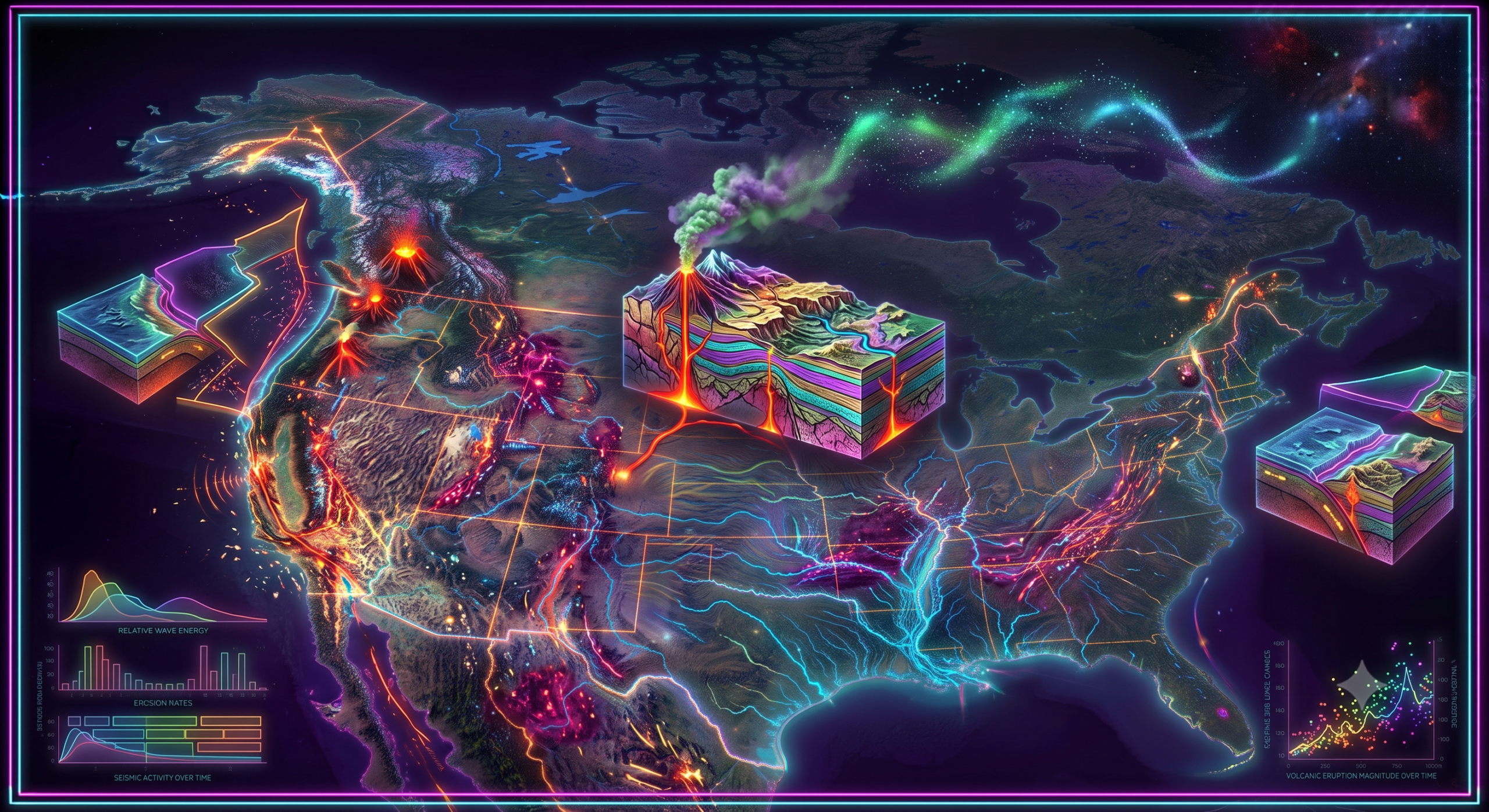
North America provides an excellent natural laboratory for geomorphological studies because it contains a remarkable diversity of landforms. The continent stretches from the Arctic regions of Canada to the tropical areas of southern Mexico, encompassing vast mountain systems, extensive plains, ancient plateaus, deserts, forests, glaciers, volcanic regions, and thousands of kilometers of coastline. These varied landscapes have developed over billions of years through complex geological events.
The study of geomorphology is especially important in North America because the continent experiences active tectonic movements, frequent earthquakes, volcanic eruptions, glaciation, river erosion, coastal changes, and human-induced landscape modifications. Understanding these processes helps scientists predict natural hazards, manage natural resources, conserve ecosystems, and support sustainable development.
Meaning of Geomorphology
The word geomorphology comes from three Greek words:
- Geo meaning Earth
- Morph meaning form or shape
- Logy meaning study
Thus, geomorphology literally means the study of Earth’s surface forms.
Geomorphology examines:
- The origin of landforms
- The structure of landforms
- Their evolution over time
- The physical processes that modify them
- The interaction between climate, geology, water, ice, wind, and living organisms
Geomorphologists investigate both ancient landscapes that formed millions of years ago and modern landscapes that continue to evolve today.
Scope of Geomorphology
Geomorphology covers a wide range of topics including:
- Mountain formation
- River systems
- Coastal landscapes
- Desert landforms
- Glacial landforms
- Volcanic regions
- Karst landscapes
- Plate tectonics
- Soil formation
- Landscape evolution
- Natural hazards
Modern geomorphology combines knowledge from:
- Geology
- Geography
- Hydrology
- Climatology
- Ecology
- Environmental science
- Remote sensing
- Geographic Information Systems (GIS)
Major Geomorphic Processes
North America’s physical landscape has been shaped by several geomorphic processes.
1. Tectonic Processes
Internal forces originating within the Earth create mountains, plateaus, valleys, and fault systems.
Examples include:
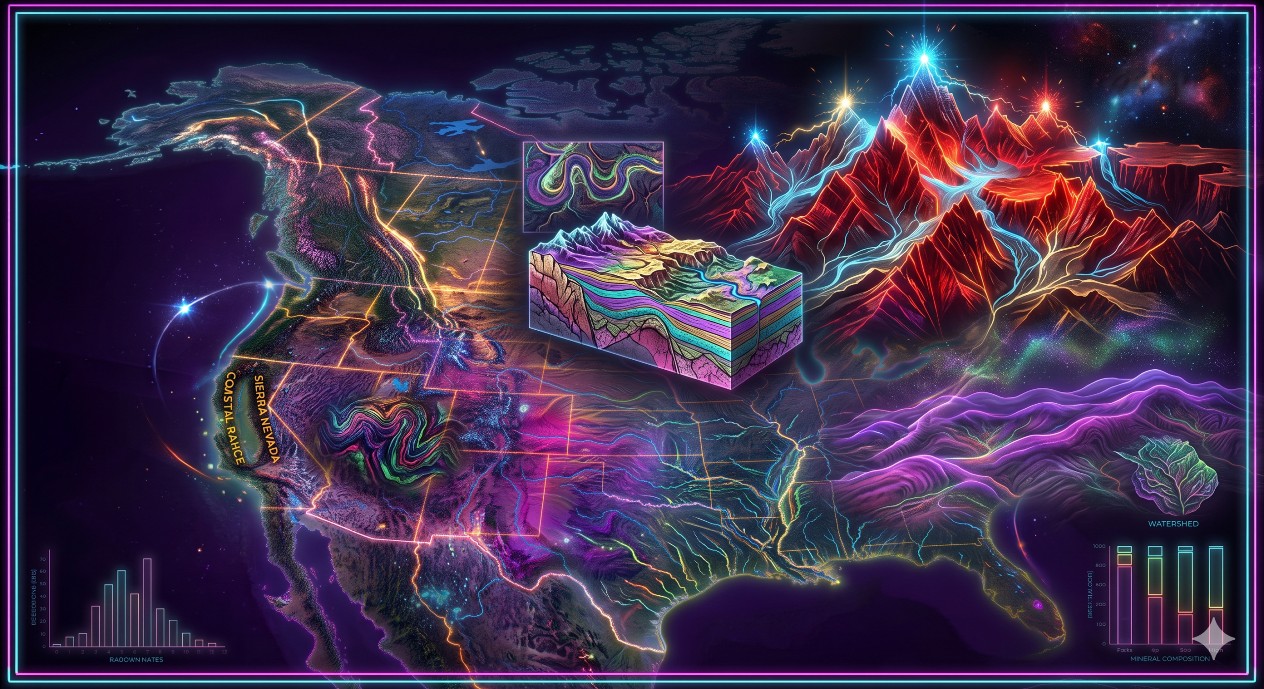
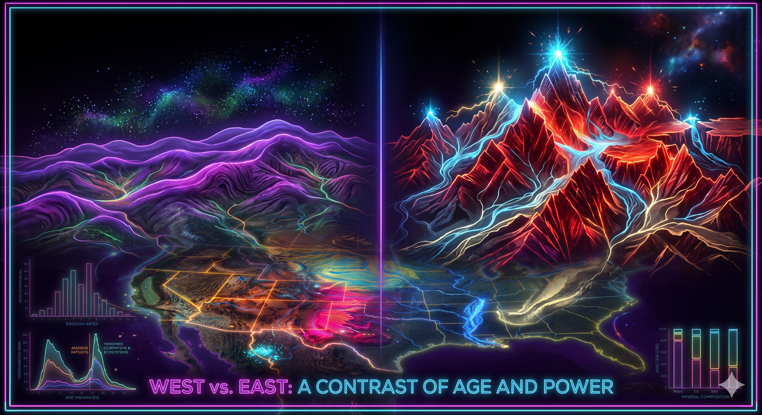
- Formation of the Rocky Mountains
- Development of the Sierra Nevada
- Basin and Range Province
- Appalachian Mountains
- San Andreas Fault system
These features are products of plate movements occurring over millions of years.
2. Weathering
Weathering refers to the breakdown of rocks without transporting them.
There are three major types:
Physical Weathering
- Freeze-thaw action
- Temperature changes
- Frost wedging
Common in northern Canada and Alaska.
Chemical Weathering
- Dissolution
- Oxidation
- Hydrolysis
Common in humid southeastern United States.
Biological Weathering
- Plant roots
- Burrowing animals
- Microorganisms
Occurs throughout the continent.
3. Erosion
Erosion removes weathered material through:
- Running water
- Wind
- Ice
- Ocean waves
- Gravity
River erosion has produced many spectacular landscapes, including the Grand Canyon.
4. Deposition
Deposition occurs when transported sediments settle.
Examples include:
- Mississippi River Delta
- Great Plains sediments
- Coastal beaches
- Floodplains
- Sand dunes
5. Glaciation
During the Ice Ages, enormous glaciers covered much of northern North America.
Glaciers produced:
- U-shaped valleys
- Moraines
- Eskers
- Drumlins
- Fjords
- Great Lakes
Modern Canada still preserves many glacial landscapes.
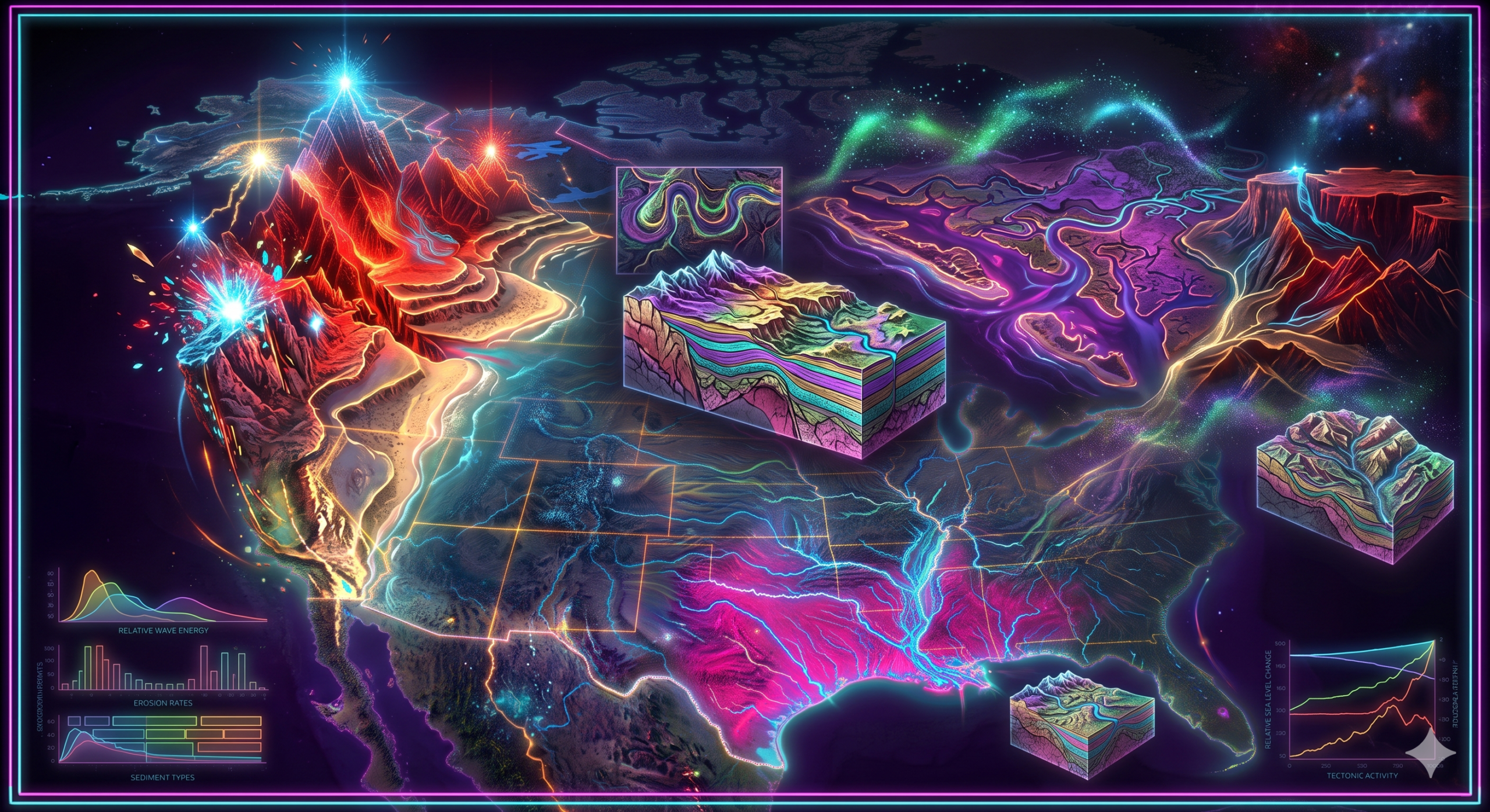
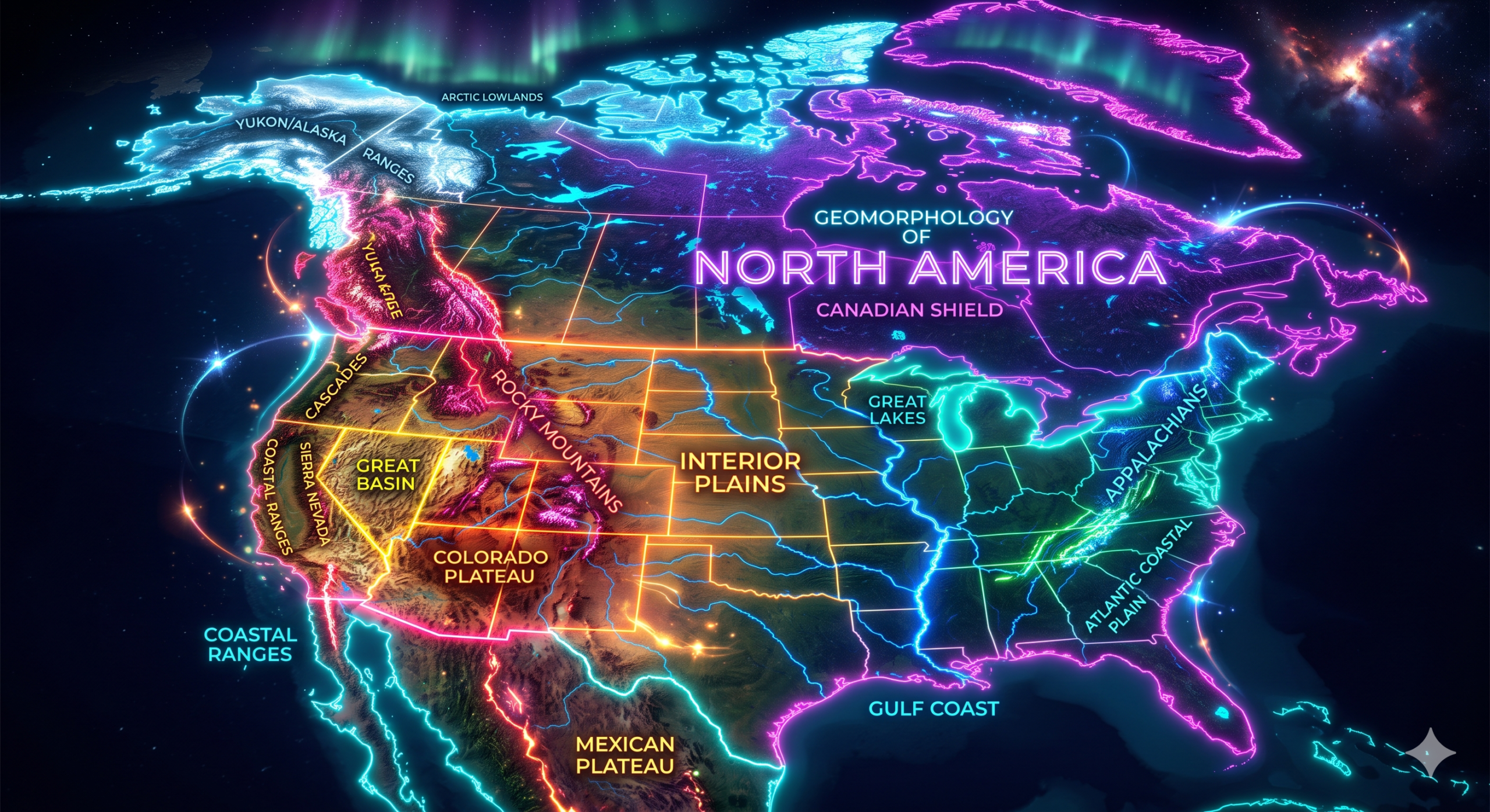
North America’s Physical Landscape
North America contains diverse physiographic regions.
Major regions include:
- Canadian Shield
- Appalachian Highlands
- Interior Plains
- Great Plains
- Rocky Mountains
- Intermontane Plateaus
- Pacific Mountain System
- Coastal Plains
- Arctic Lowlands
Each region has unique geomorphological characteristics.
Importance of Geomorphology in Understanding North America’s Landscape
1. Explains the Origin of Landforms
Geomorphology explains how North America’s landforms developed.
For example:
The Rocky Mountains formed through tectonic plate interactions.
The Appalachian Mountains are much older and have been extensively eroded.
The Canadian Shield consists of some of Earth’s oldest rocks.
The Great Plains formed through sediment deposition.
Understanding these origins allows scientists to reconstruct Earth’s geological history.
2. Helps Understand Plate Tectonics
Western North America lies near active plate boundaries.
Important tectonic features include:
- San Andreas Fault
- Cascade volcanic arc
- Aleutian Islands
- Basin and Range Province
Geomorphology explains:
- Earthquakes
- Mountain building
- Volcanic activity
- Crustal deformation
This knowledge improves disaster preparedness.
3. Explains River Systems
North America contains some of the world’s largest river systems.
Major rivers include:
- Mississippi
- Missouri
- Colorado
- Columbia
- Mackenzie
- Yukon
- Rio Grande
- St. Lawrence
Geomorphology studies:
- River erosion
- Meander formation
- Floodplains
- River terraces
- Deltas
- Waterfalls
For example, the Colorado River carved the Grand Canyon over millions of years.
4. Understanding Glacial Landscapes
One of the greatest influences on North America’s landscape was continental glaciation.
Glaciers shaped:
- Great Lakes
- Finger Lakes
- Hudson Bay region
- Canadian Shield
- New England
Geomorphology helps explain:
- Glacial deposits
- Moraines
- Kettle lakes
- Outwash plains
- Eskers
These landforms provide evidence of past climatic conditions.
5. Coastal Landscape Studies
North America has extensive coastlines along:
- Atlantic Ocean
- Pacific Ocean
- Arctic Ocean
- Gulf of Mexico
Geomorphology studies:
- Beaches
- Barrier islands
- Sea cliffs
- Estuaries
- Coastal dunes
- Salt marshes
Understanding coastal geomorphology is essential for managing coastal erosion and sea-level rise.
6. Understanding Desert Landforms
Southwestern North America contains important desert landscapes.
Examples include:
- Mojave Desert
- Sonoran Desert
- Chihuahuan Desert
- Great Basin Desert
Geomorphologists study:
- Sand dunes
- Alluvial fans
- Playas
- Mesas
- Buttes
- Desert pavements
These landforms illustrate the role of wind and infrequent rainfall in shaping arid environments.
7. Resource Exploration
Geomorphology supports the discovery and management of natural resources.
These include:
- Minerals
- Oil
- Natural gas
- Coal
- Groundwater
- Construction materials
Many mineral deposits occur in specific geomorphic settings.
For example:
- Petroleum basins
- River gravels
- Mountain belts
Understanding landforms helps identify resource-rich areas.
8. Agriculture and Soil Management
Agriculture depends heavily on landforms and soils.
Geomorphology helps identify:
- Fertile floodplains
- Loess plains
- River terraces
- Well-drained uplands
The Great Plains and Mississippi Valley support productive farming largely because of favorable geomorphic conditions.
9. Water Resource Management
Geomorphology improves understanding of:
- Watersheds
- River channels
- Aquifers
- Groundwater recharge
- Wetlands
Water resource planning depends on knowledge of landforms and drainage systems.
This is increasingly important under changing climate conditions.
10. Natural Hazard Assessment
Geomorphology plays a major role in reducing disaster risks.
It helps predict:
- Landslides
- Floods
- Coastal erosion
- Earthquakes
- Volcanic hazards
- Debris flows
- Avalanches
For example:
California’s mountain slopes are monitored for landslides.
Floodplain mapping along the Mississippi River reduces flood damage.
11. Climate Change Research
Climate change is altering many geomorphic processes.
Scientists study:
- Glacier retreat
- Permafrost thaw
- Rising sea levels
- Coastal erosion
- River flow changes
North America provides valuable evidence of these ongoing changes.
Geomorphology helps predict future landscape evolution.
12. Environmental Conservation
Landform knowledge supports conservation planning.
Protected areas such as:
- National parks
- Wetlands
- Forests
- River corridors
are managed using geomorphological information.
This helps preserve biodiversity and ecosystem services.
13. Urban Planning and Infrastructure
Cities require stable land for development.
Geomorphologists evaluate:
- Slope stability
- Flood risk
- Foundation conditions
- Coastal hazards
- Earthquake zones
This information guides the construction of:
- Roads
- Bridges
- Dams
- Airports
- Housing projects
Proper planning reduces environmental and economic losses.
Important Geomorphic Features of North America
Some famous geomorphic features include:
- Rocky Mountains – Young fold mountains formed by tectonic uplift.
- Appalachian Mountains – Ancient, heavily eroded mountain system.
- Great Plains – Broad sedimentary plains ideal for agriculture.
- Canadian Shield – One of the oldest exposed continental crust regions on Earth.
- Grand Canyon – A spectacular canyon carved by the Colorado River.
- Great Lakes – Large freshwater lakes formed primarily by glacial processes.
- Mississippi River Delta – A major depositional landform built by river sediments.
- Death Valley – One of the lowest and hottest places in North America, formed through crustal extension.
- Cascade Range – Volcanic mountains associated with subduction along the Pacific margin.
Modern Techniques Used in Geomorphology
Advances in technology have greatly improved the study of landforms.
Common methods include:
- Satellite imagery
- Geographic Information Systems (GIS)
- Remote sensing
- Drone surveys
- LiDAR (Light Detection and Ranging)
- GPS measurements
- Computer modeling
- Radiometric dating
- Field mapping
These techniques enable scientists to monitor changes in landscapes with high accuracy.
Challenges Facing North America’s Landscapes
North America’s landscapes are continually changing due to natural and human influences.
Major challenges include:
- Climate change
- Deforestation
- Urban expansion
- Mining
- River damming
- Coastal erosion
- Soil degradation
- Glacier retreat
- Wildfires
- Increasing flood frequency
Geomorphological research helps governments and communities respond to these challenges through informed planning and sustainable land management.
Conclusion
Geomorphology is the scientific study of Earth’s landforms and the natural processes that create and transform them. It provides the foundation for understanding the origin, evolution, and distribution of mountains, plains, rivers, deserts, glaciers, plateaus, and coastlines. North America, with its extraordinary variety of landscapes, offers one of the world’s richest settings for geomorphological investigation. From the ancient rocks of the Canadian Shield to the towering Rocky Mountains, from the fertile Great Plains to the deeply carved Grand Canyon, each landscape reflects millions of years of geological history and ongoing environmental change.
The importance of geomorphology extends far beyond academic research. It contributes to natural hazard assessment, resource management, agriculture, water conservation, environmental protection, climate change studies, infrastructure planning, and sustainable development. By understanding how landforms develop and evolve, scientists, planners, and policymakers can make informed decisions that protect both people and the environment. As environmental challenges continue to grow, geomorphology will remain an essential discipline for interpreting Earth’s dynamic surface and ensuring the responsible management of North America’s diverse physical landscape.